Monday, May 31, 2021

A rainy ride through the Rockies

 The weather forecast wasn't great, with rain and intermittent thunderstorms forecast for the entire day. We opted to leave Pagosa Springs before 8am and wore all our warm clothes, liners, and rain gear as we rode east on US 160 through the Rio Grande National Forest.


We wanted to get over Wolf Creek Pass, at 10,857' at the top of the Continental Divide, before bad weather hit. Originally a 12' wide dirt road constructed in 1916, it's now a multi-lane paved highway with maximum 6.8% grade. 


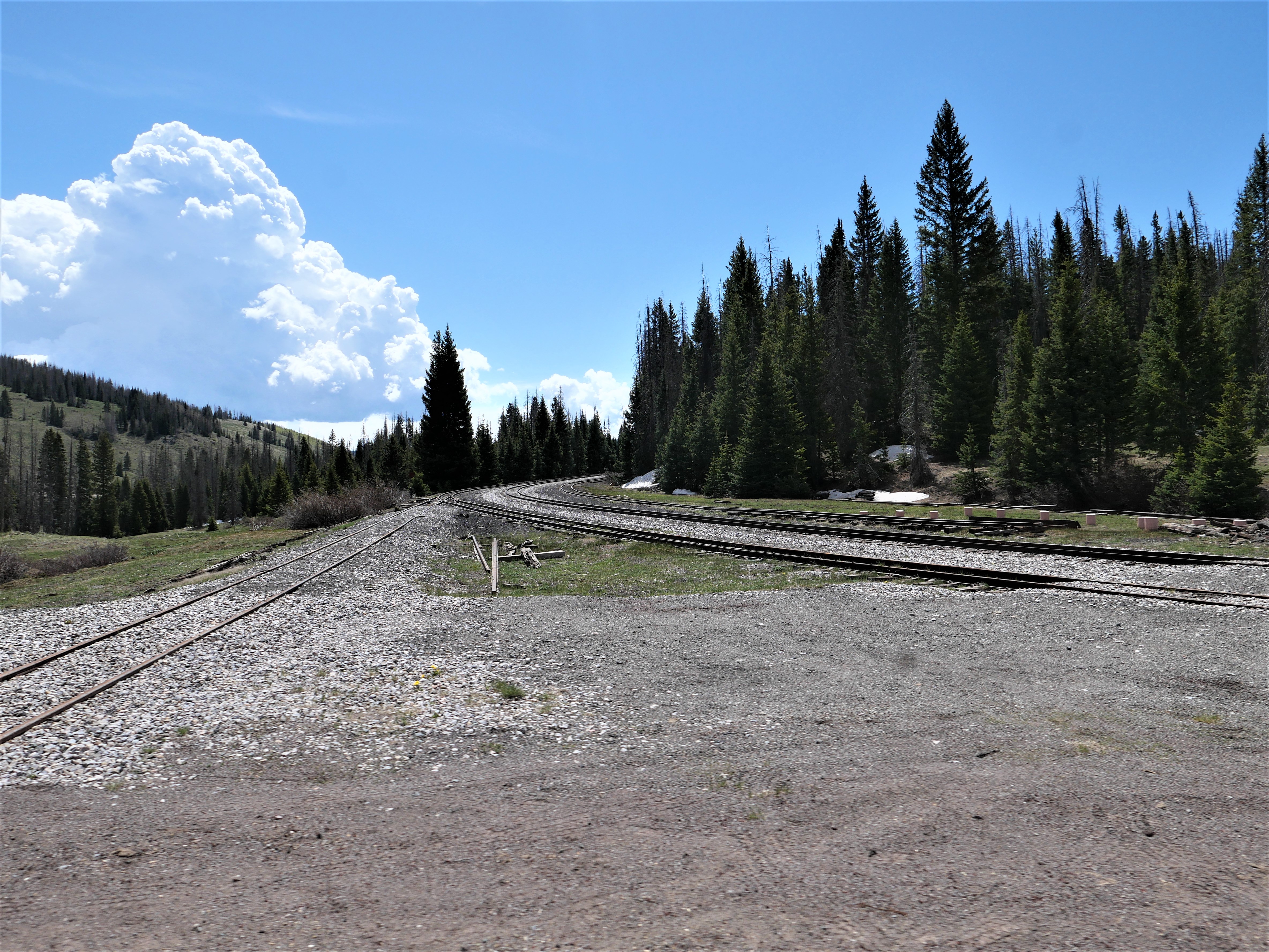
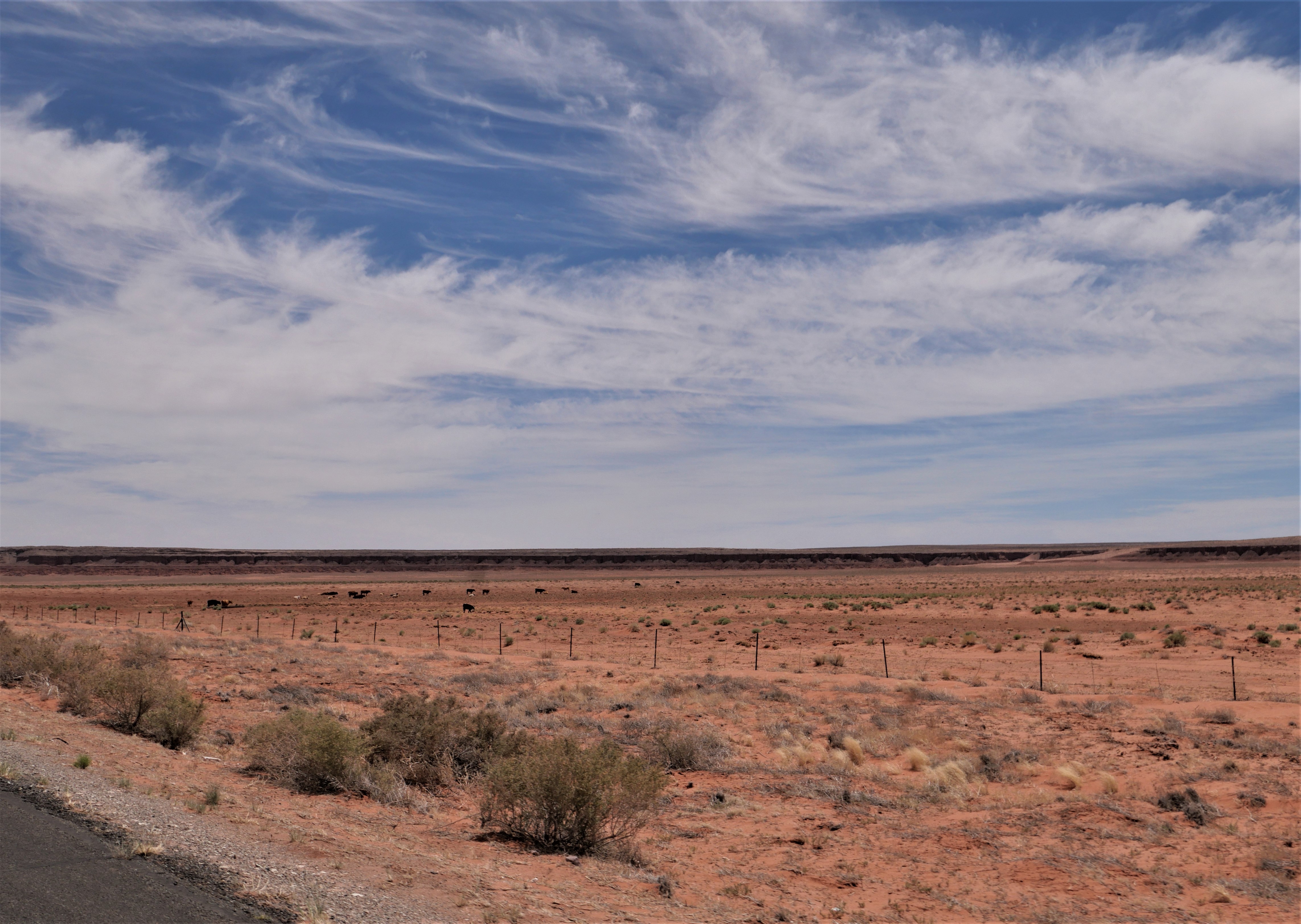
Although the ski area on the east side of the summit is closed for the year, there's still a significant quantity of snow. We missed the rain, but the temperature dipped to 42 degrees as we zoomed down the mountain into the San Luis Valley, a 122 mile long, 74 mile wide high mountain valley home to small towns and agriculture. 


We turned northeast on Colorado 112 for a short stretch before heading north on US 285 through the valley with the northern part of the Sangre de Cristo mountain range to our right. The clouds dropped down below the tops of the mountains and we rode in and out of rain the rest of the trip.


We ended the day in Buena Vista, a beautiful mountain town at about 8,000' with normally gorgeous views of the Presidential Peaks. The weather should clear up tomorrow and we'll be able to see the mountains as we continue our ride north.

Into the mountains

We started off the morning riding east from Farmington, NM on US 64, riding out of the industrial/commercial area into open country, following the 2-lane paved highway as it swept and turned past high rock walls.


64 East took us through the Carson National Forest and then the Jicarilla Apache Nation in this rugged and beautiful part of northern New Mexico. 

We turned north on NM 17, riding through the small town of Chama, home of the historic Cumbres and Toltec Scenic narrow gauge railroad. Only 64 miles of narrow gauge tracks remain, and this year one of the original 1880's steam engines returns to service. 


Route 17 and the narrow gauge railroad snake through the Sangre de Cristo mountains, the southernmost range of the Rocky Mountains. This is gorgeous country, and we were excited to watch the elevation rise to 10,230' at the top of La Manga Pass once we crossed over into Colorado.


We turned around and retraced our route heading south on 17, crossing back into New Mexico and descending through groves of aspens.


We stopped for lunch at Fina's Diner in Chama where we sat outside in the large tent and watched the holiday weekend traffic, including a few motorcycles, zip past us on the highway. We turned north on US 84, crossed back into Colorado, and ended our day in Pagosa Springs.


We love seeing water running in the streams, green grass, and the snowy mountain tops which are so different from our home in Arizona. Pagosa Springs sits at about 7100' elevation on the Western Slope of the Continental Divide in an absolutely stunning part of the country. Our first day of the trip was all about straight roads through the desert, and today we enjoyed sweeping curves through the mountains.


Saturday, May 29, 2021

Back on the road in 2021

We started our first long-distance motorcycle trip in almost a year today, and it felt fantastic to pack up the BMW and ride 376 miles from our home in Prescott, Arizona to Farmington, New Mexico. It's the first day of a 2-week trip that will take us to the Denver area to visit our sons, South Dakota, and then - well, we're not exactly sure where we'll head next. 

We headed north from home on AZ 89, picking up I-40E for a few miles to Flagstaff where we once again turned the BMW north on US 89. We were a bit surprised to see snow at the north-facing top of the San Francisco Peaks in Flagstaff. Named for the Franciscan friars who were doing missionary work in this area in the early 1600's, the San Francisco Peaks are a volcanic mountain range with the highest point in Arizona - Mt. Humphrey's at 12,633'.


We rode through the Navajo Nation the majority of the day, turning east on US 160 and stopping at a Subway in Kayenta for lunch. Due to COVID-19 restrictions there is no in-person dining, so we found a spot of shade outside and enjoyed our lunch.


We can't remember the last time we rode on 160E past Kayenta, and enjoyed watching the changing scenery and the far-off distant vistas.


We picked up US 64E and then just a few miles further crossed the state line into New Mexico. We're still in the Navajo Nation, which covers over 27,000 square miles in four states:  Arizona, New Mexico, Colorado and Utah. 


 There was almost no traffic on this stretch of asphalt, and we were excited to see the odometer turn over to 30,000 miles. We've had the BMW for a bit over 3 years and are looking forward to many thousands more miles.


We passed a few herds of cattle and saw a small herd of horses off to the side of the highway taking shelter from the mid-day sun under the rock overhang in a wash. There weren't as many motorcycles as we expected, and much of the time we enjoyed the road to ourselves. Riding through the Southwest is a lesson in vast spaces, long distances between often very tiny towns, and lots of open road. Tomorrow we'll head into Colorado and are looking forward to the Rockies.