Showing posts with label Kayenta. Show all posts

Friday, June 11, 2021

376 miles on two roads from Colorado to Arizona

 Our route today was simple:  US 160 West from Pagosa Springs, Colorado to US 89 South to Flagstaff, Arizona. We started out at 8am with temperatures in the mid-50's and ended the day pushing 90 degrees. 160 West took us past Chimney Rock National Monument between Pagosa Springs and Durango.


An archaeological site that preserves hundreds of ruins from the Ancestral Puebloans who lived here over 1000 years ago, Chimney Rock is in the San Juan National Forest. Not far down the road we passed Mesa Verde, another site where the Ancestral Puebloans lived for over 700 years, building cliff dwellings that exist today. We celebrated as our odometer rolled over to 32,000 miles. 


In Durango, US 160 becomes the San Juan Skyway, twisting 236 miles through the San Juan Mountains of southwestern Colorado. We were only on this route for a few miles, continuing on 160 West while the scenic skyway turns off onto CO 184.


We rode through Cortez, just outside the Ute Mountain Tribal Park. The park is currently closed due to COVID, but we rode past Sleeping Ute Mountain. According to legend, the mountain is the sleeping Great Warrior God who battled evil, was hurt, and lay down falling into a deep sleep.


Until Cortez the scenery was green - irrigated fields of grass and hay and dark green pine trees on the mountain sides. Continuing west past Cortez brown is the dominant color as the desert takes over.


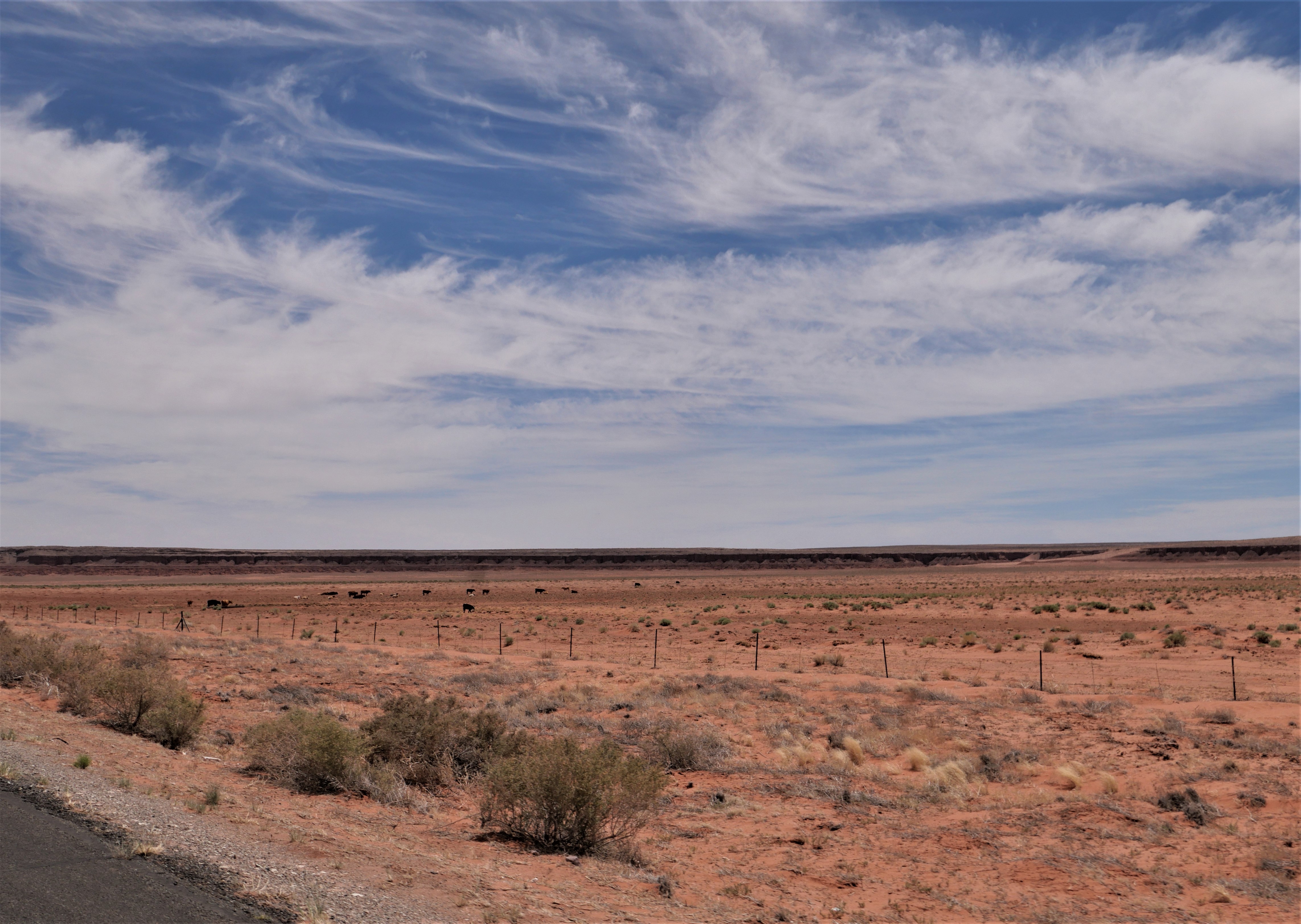
US 160 goes past the Four Corners Monument, the only place where four states meet: Colorado, New Mexico, Arizona and Utah. This is another casualty of COVID, closed by the Navajo Nation to minimize the spread of the disease. We saw several groups of horses today as we rode through the vast  Navajo Nation, and I wondered how they manage to survive on the scarce brown grass. The 2-lane paved highway stretches straight through the desert, only occasionally sweeping in wide turns.


We stopped in Kayenta for lunch at Subway, repeating our lunch stop the first day of our trip almost 2 weeks ago when we rode east on US 160. There aren't many places to stop and eat on the Navajo Nation so we made sure to take advantage of places we know are open. After lunch we continued west on US 160, riding through flat areas that stretched out to hazy cliffs in the far distance that alternated with high rock cliffs and craggy canyons.


We turned south on US 89 with long-distance views of the San Francisco Peaks in Flagstaff, AZ, in front of us.


The temperature climbed and hovered around 90 degrees even as we climbed in elevation to about 7000' in Flagstaff. After 7 hours of travel today, we were ready for an air conditioned hotel room and an early dinner followed by a walk around busy downtown Flagstaff. Tomorrow we head home, finishing our 2-week trip through the Southwest.


Saturday, May 29, 2021

Back on the road in 2021

We started our first long-distance motorcycle trip in almost a year today, and it felt fantastic to pack up the BMW and ride 376 miles from our home in Prescott, Arizona to Farmington, New Mexico. It's the first day of a 2-week trip that will take us to the Denver area to visit our sons, South Dakota, and then - well, we're not exactly sure where we'll head next. 

We headed north from home on AZ 89, picking up I-40E for a few miles to Flagstaff where we once again turned the BMW north on US 89. We were a bit surprised to see snow at the north-facing top of the San Francisco Peaks in Flagstaff. Named for the Franciscan friars who were doing missionary work in this area in the early 1600's, the San Francisco Peaks are a volcanic mountain range with the highest point in Arizona - Mt. Humphrey's at 12,633'.


We rode through the Navajo Nation the majority of the day, turning east on US 160 and stopping at a Subway in Kayenta for lunch. Due to COVID-19 restrictions there is no in-person dining, so we found a spot of shade outside and enjoyed our lunch.


We can't remember the last time we rode on 160E past Kayenta, and enjoyed watching the changing scenery and the far-off distant vistas.


We picked up US 64E and then just a few miles further crossed the state line into New Mexico. We're still in the Navajo Nation, which covers over 27,000 square miles in four states:  Arizona, New Mexico, Colorado and Utah. 


 There was almost no traffic on this stretch of asphalt, and we were excited to see the odometer turn over to 30,000 miles. We've had the BMW for a bit over 3 years and are looking forward to many thousands more miles.


We passed a few herds of cattle and saw a small herd of horses off to the side of the highway taking shelter from the mid-day sun under the rock overhang in a wash. There weren't as many motorcycles as we expected, and much of the time we enjoyed the road to ourselves. Riding through the Southwest is a lesson in vast spaces, long distances between often very tiny towns, and lots of open road. Tomorrow we'll head into Colorado and are looking forward to the Rockies.


Monday, July 27, 2020

On the road again!


Our last long bike trip was 2 years, and we've been looking forward to today for months. We left home this morning on a 3 week trip into Utah, Wyoming and Colorado on a beautiful, sunny July day.

We rode north out of Prescott on I-17 into Flagstaff, then continued north on 89 through the wide open high desert.


Our route led us east on 160, through the Navajo Nation that covers more than 27,000 acres in Utah, Arizona and New Mexico.  This area is part of the Painted Desert where deposits of clay and sandstone were layered by floods, earthquakes, and volcanoes to create stunning, colorful rock formations.


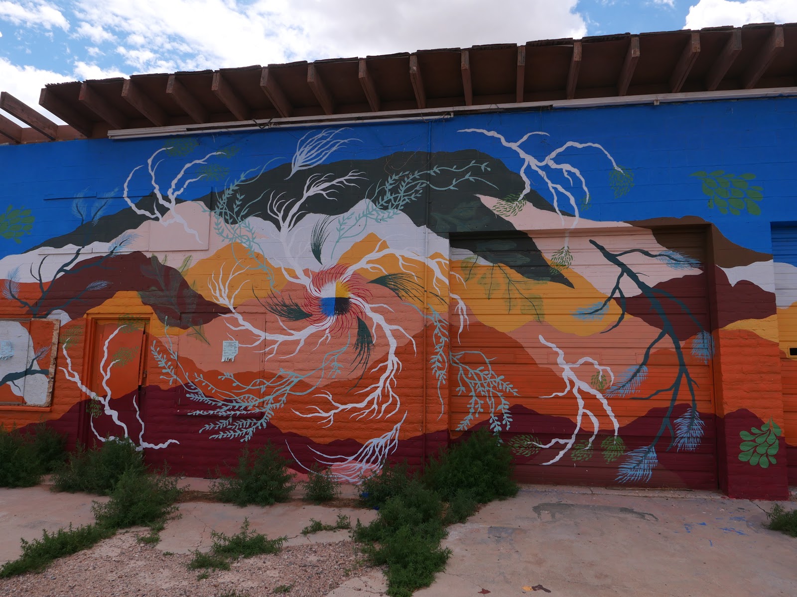
We were also struck by the Native American photos and artwork on abandoned buildings along the highway.


We stopped in Kayenta, a Navajo town on the Colorado Plateau at 5,700' elevation, for a quick lunch at Subway. The Navajo have been hit hard by COVID-19, and require masks and only allow take-out meals. We found a shady spot outside the Subway store and quickly ate lunch while we listened to loud cracks of thunder. Luckily the storm was behind us as we continued north on U.S. 163 into Monument Valley.


Billions of years ago Monument Valley was a lowland basin where sediments that eroded from the nearby mountains built up multicolored layers of rock that eventually were lifted up into a high plateau 1 to 3 miles above sea level. Wind and water erosion wore away the softer rock, leaving the impressive rock formations we rode by today.


At one point Mike saw a horse running along the side of the highway and I was lucky enough to snap a quick picture


We crossed into Utah and a few miles later came into the aptly named town: Mexican Hat.  We circled down the highway that sweeps off the edge of Cedar Mesa, crossing the San Juan River. Mexican Hat is named after a rock formation that looks like a Mexican hat: a large, flat rock that is 60' in diameter perched on top of a much smaller base. The rock formation doesn't look that large from the highway, and you can see it in the middle of the photo below.


The colors of the rocks are amazing, and some of them formed a vvvvv pattern that reminds me of my grandmother's favorite rickrack that she put on most of the clothes she sewed for us.


163 meets up with U.S. 191, and we finished the day's 339 miles riding through Bluff, Utah settled by the San Juan Mission of the Church of Jesus Christ of Latter-day Saints in 1880 when 250 pioneers spent 6 months establishing a wagon road through this inhospitable terrain. We covered more miles in <6 hours than they did in 6 months, which puts travel through the arid, rocky, canyon-filled Southwest into perspective.

We're spending the night in Blanding, Utah, founded in the late 19th century by some of the same hardy pioneers who trekked to Bluff. We dodged the rain and thunderstorms and thoroughly enjoyed the first day of our motorcycle trip.


Wednesday, July 19, 2017

Last day of our trip - and we missed the monsoons!

We watched lightning and listened to thunder as monsoons rolled into Kayenta last night, glad we arrived before the rain. Today we left at 6am, saving breakfast until we reached Flagstaff to beat the monsoons that are forecasted to start in early afternoon.


Kayenta is a fairly large town of about 5000 people in the Navajo Nation. It sits at 5700' elevation about 25 miles south of Monument Valley. We rode on US 160 west out of town, with the early morning sun turning the hills a warm red.


Perhaps it was because of all the rain recently, or riding so early in the morning, but the air smelled bright and clean with a sharp, herbal freshness. I notice outside smells more on the motorcycle vs riding in a car, even when the car windows are open.

US 160 ends at US 89, where we headed south toward Flagstaff and breakfast. Flagstaff, a city of about 70,000 people, is at the southwestern edge of the Colorado Plateau and within the largest contiguous Ponderosa pine forest in the United States. We watched the San Francisco Peaks, high mountain peaks just outside Flagstaff, come into view as we rode closer to town.


Franciscan friars named these mountains in 1629. The Navajo call them "the summit which never melts". Humphreys is part of San Francisco Peaks, and is the highest mountain in Arizona at 12,633'.

We stopped for a quick breakfast then continued south on I-17 to home in Prescott, watching the clouds build over the mountains south of our town. We were home for about 2 hours when the monsoons hit, triggering flash flood warnings throughout our area.


We rode 1755 miles over the past week through Arizona, Colorado and Utah, stopping to visit our sons in Boulder, traveling on familiar roads and finding some new destinations. In two weeks we fly to Ireland where we'll rent a motorcycle from Celtic Rider and enjoy exploring Ireland for a few days. We'll trade hot weather and sunny skies for rain gear and more shades of green than I've ever seen.