Sunday, September 7, 2014

Arizona desert on our BMW motorcycle

There's a huge difference between life on a motorcycle trip and life at home. When we're traveling on the BMW the days fall into a pattern:  up early in the morning to run, breakfast, load up the bike, travel all day with stops for gas and lunch, end up in the late afternoon at our destination, unpack, blog, work and eat dinner.

When we first get home from a trip I'm faced with a pile of laundry, a big stack of mail, hours of work that I've been putting off plus a packed calendar. Did I mention sorting through hundreds of photos and finishing the blog for the trip?

We came back from a 6-day Labor Day weekend trip to Boulder, Colorado on Tuesday and today (Sunday) I'm finally writing up the blog for the last day's ride. The overall theme for this day is emptiness.

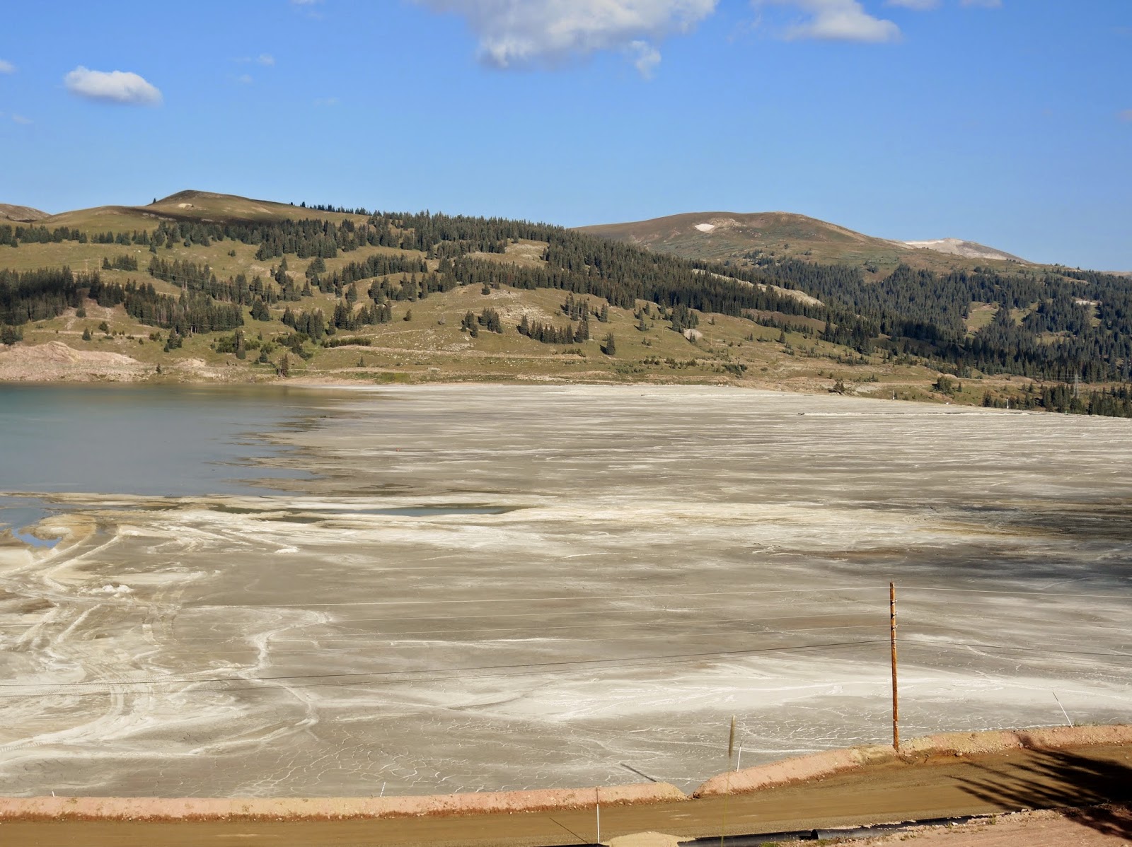
New Mexico Route 64 riding west from Farmington

Small towns are often 50 or more miles apart in the Southwest. Many of the towns are home to less than 400 people, and sometimes all we see is a sign at a road crossing, with the promise of a cluster of homes hidden out of sight behind a hill or past the next canyon. We see narrow dirt roads that snake off across the desert with 2 or 3 mailboxes sited at the highway the only sign that people live at the end of these lonely roads.

We started today in Farmington, NM and rode west along Route 64 on the Trails of the Ancients Byway that connects the Four Corners states of New Mexico, Colorado, Utah and Arizona on the Navajo Reservation. People settled here starting in at least 10,000 BC, and I'm guessing that the landscape hasn't changed very much from then until now.


The landscape went back and forth from flat desert with faint shadows of distant mountains on the horizon, to craggy canyons and rolling hills where the highway swept around the larger rock formations, to tall mesas, and sometimes to weirdly shaped rock formations that rose hundreds of feet above the desert.


We were only in New Mexico for a few miles before we crossed into Arizona. At Teec Nos Pos  we continued west onto Arizona Route 160. The Navajo name translates into 'cottonwoods in a circle' but I didn't see any cottonwoods at all as we rode past the tiny town.

We turned south onto Arizona Route 191 with views of the Lukachukai Mountains to the east. We've ridden through those mountains on past trips, but today contented ourselves with straight and flat roads instead of twisty mountain hairpin turns.

horses along the ridge on Arizona 191 near Many Farms

I like reading the names of the towns as we ride along:  Mexican Water, Many Farms, Rock Point. 191 took us to 264, heading west again past Keams Canyon that was the site of a trading post in the late 1800's. The 3 mile long box canyon is known as Pongsikya by the Hopi and Lok'aa'deeshjin by the Navajo and is the only gas station/convenience store for several miles. Too many miles today, because instead of stopping we continued on for another 1 1/2 hours until we stopped for a late lunch in Winslow.

Keams Canyon

We've been through Winslow many times in the past year, but today was the first time we actually rode past the "standing on the corner of Winslow Arizona" statue from the classic Eagle's song.


As we continued on 87 South, we finally rode into the Coconino National Forest where the 2-lane highway wound through stands of tall Ponderosa pine trees along the rugged Mogollon Rim country. It wasn't until we rode down into Camp Verde that the temperature suddenly shot up to 100 degrees. We stopped at a gas station for a cold drink of water and I peeled off layers of clothing to make the last 45 minutes of our ride home bearable.


Some people say there isn't anything to see through this northwestern corner of Arizona, but we enjoy riding through the empty desert. There might not be large towns, traffic, or tourist stops to draw people's interest, but that means we have the opportunity to pay attention to the wisps of clouds that sometimes dot the blue sky, the bright flowering plants that dot the desert during this rainy season, and the way the wind feels as we zoom along the highway with no cars to be seen for miles in front of us.

We've been home for five days and every time I see a motorcycle with side bags and a duffle strapped to the back, I'm envious. 

Monday, September 1, 2014

A day cruising the Rockies on our BMW motorcycle


Even with tights, motorcycle pants, 3 layers of shirts (including one long-sleeved wool shirt), 2 layers of liners inside my motorcycle jacket, and full raingear - I was shivering and cold as we rode south through the Rocky Mountains.


We left Boulder, Colorado at 7 am, looking to beat the Labor Day traffic as we headed south on Colorado 93 to Interstate 70. Usually we avoid interstates as much as possible, but we made an exception today for two reasons:  we wanted to make good time and we were looking for a slightly different route. The mountains along I-70 are impressive but the temperature dropped from a doable 52 in Boulder to the mid-30's as we climbed to over 9,000' elevation.

We crested the highest point on I-70 at 11,155' as we rode 1.6 miles through the Eisenhower Tunnel, the highest vehicle tunnel in the world.


When we turned off I-70  we stopped for gas and to warm up before continuing south on Colorado 91 toward Leadville. This was a new route for us, and after we crested Fremont Pass on the Continental Divide at 11,318' we rode past several shallow ponds. Curious, we stopped at a pullout to discover the Climax Molybdenum open-pit mine and several tailing ponds that cover the valley that once was home to three mining towns:  Kokomo, Robinson, and Recen. Mining shaped so much of the early history of the West, and it continues to have a major impact today.


A bit further south  Colorado 91 joined route 24, taking us into Leadville, at 10,430' the highest incorporated city in the United States. We've always heard that Leadville is a beautiful town, but we were disappointed at the run-down houses, empty buildings, and general air of depression.


Route 24 is part of the Top of the Rockies scenic byway system, and it lived up to its name as we rode past high, peaked mountains that rose above the treeline, and sometimes above the clouds.


Continuing south, we rode past the Collegiate Peaks in the Sawatch Range of the Rockies. Ranging from 13,132' to 14,421', several of the mountains are named after famous universities, including Princeton, Harvard and Yale. By this time the temperature had warmed up into the 70's, and as we rode through green fields in the valley with the mountains off to the west I can understand why people want to live and vacation here.

We turned onto Colorado route 285, continuing south through the San Luis Valley where we rode past irrigated green fields surrounded by mountains.


When we traveled to Boulder 5 days ago, we rode these same roads, but in the opposite direction. That gave us the opportunity to view the scenery in a slightly different way as we turned onto Colorado Route 112 where we stopped to admire a buffalo herd just outside Del Norte.


I imagined herds of buffalo (actually, the correct name is bison) covering the plains when settlers first ventured into this area. I wonder what they would think of our motorcycle?

After lunch in Del Norte we turned west onto Route 160, crossing the Continental Divide yet again at Wolf Creek Pass.


We stopped on the western side of the Pass, looking out toward Pagosa Springs in the valley far below.


We stayed on 160 until just outside Durango, where we turned south onto 550 for the final miles into Farmington, NM at the junctions of the San Juan, Animas and La Plata rivers. We had gotten used to the green scenery in Colorado, and were surprised at how quickly the green forests gave way to the arid brown of the desert around Farmington.

By the time we pulled into Farmington the temperature was 92 degrees and I'd shed all of my warm clothing that I layered on earlier in the morning. A walk along the Animas River just behind our hotel was the perfect way to end the day.