Monday, April 21, 2014

Arizona deserts on a BMW motorcycle

The last full day of our motorcycle trip was the exact opposite of the first two days. We started the trip with overcast skies, colder than usual weather, and even a hailstorm. Today, it was 70 degrees when we first got on the bikes, and 101 when we pulled into the hotel parking lot almost 7 hours later.

We headed north from Sierra Vista toward the outskirts of Tucson with a minimal plan:  skirt the city traffic and find out what the east side of Tucson is like. Wow - did we have fun!


Our route took us into Vail (Arizona, not the more famous Vail in Colorado), with the Rincon Mountains in front of us. When we turned off busy Interstate 10, we didn't realize we were heading into the Coronado National Forest, and were thrilled when we saw the sign for the Saguaro National Park. The park is home to not only the saguaro cactus, the largest cactus found in the US, but also desert scrub, desert grassland, oak woodland, pine-oak woodland, pine forest and mixed conifer forest.


We stopped in the visitor center for a cold drink and a map, and admired the variety of cactus in bloom at the entrance to the park. It amazes me that cactus bloom in such brilliant colors, even with very little rain - less than 1" so far this year in the Tucson area. The saguaro aren't blooming yet, but tiny buds are developing on the ends of the cactus 'arms'.


We rode the 9-mile loop road, passing cyclists and hikers but seeing no other motorcycles and very few cars. The elevation changed from 2,670' to the peaks at 8,666' as the one-land paved road wound through the Sonoran desert.


Once through the park, Tom and Christine took the lead with the aid of the rough map we received from the visitor center. Our goal was to avoid the interstates, and instead we followed busy side streets with views of canyons and mountains until we hooked up with Route 77 north and headed into the open countryside.


The temperature kept climbing even as we rode into the Santa Catalina Mountains. When we stopped for lunch in Oracle at the Oracle Inn, it was a cool 85 degrees, down from the mid-90's a few minutes earlier. We never know what type of meal we'll get in a small, out-of-the-way town, but the food at the Oracle Inn was superb:  they smoke their own chicken and pork and make delicious soups from scratch.

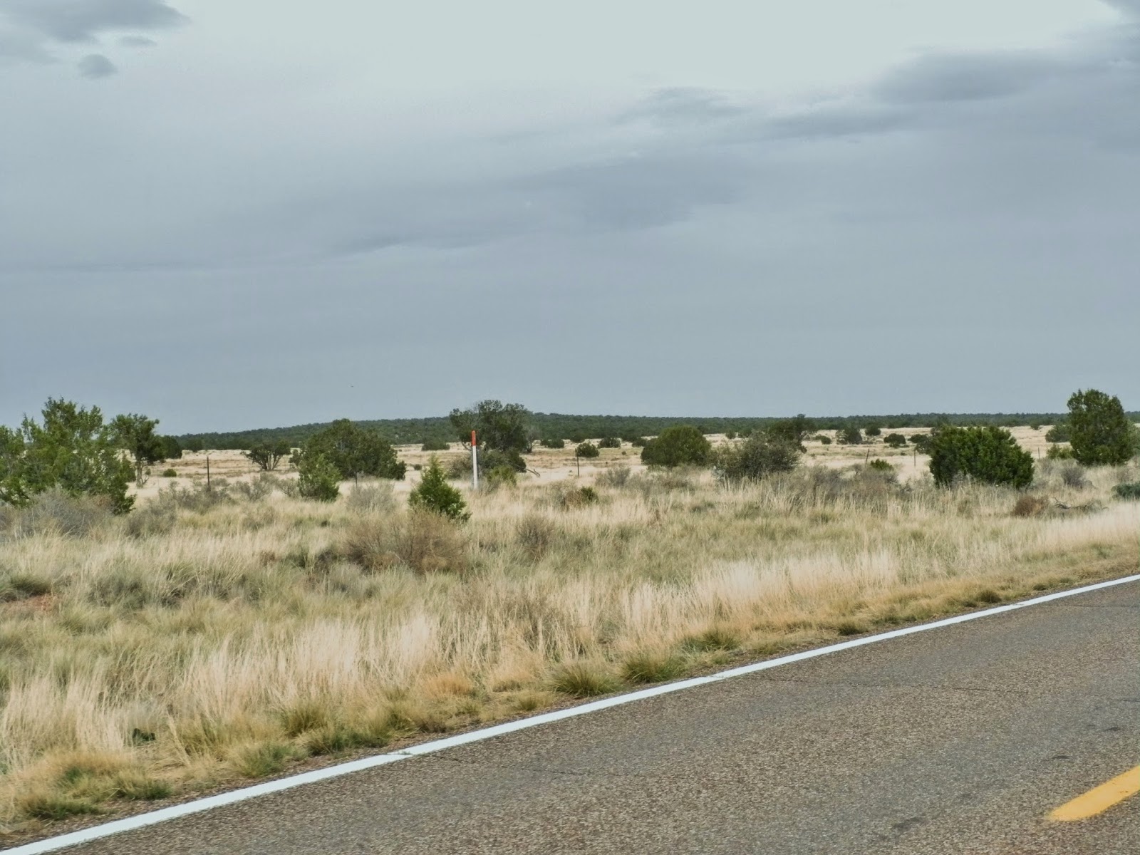
We rode together for another 40 miles, when Tom and Christine continued on to Globe, Show Low and Payson while we headed west toward Phoenix to meet our son for dinner. Route 177 is known as the  Copper Corridor Scenic Road because of several huge open pit copper mines and smelting facilities. Unlike the Lavender Pit we saw in Bisbee the day before, these are working mines.


Huge trucks that dwarfed our motorcycle looked to be the size of miniature toy trucks at the bottom of the pits. I couldn't decide which direction to look:  the peaks of the Spring, Mescal, and Pinal mountain ranges; the river gorges in the canyons, or the copper mining facilities. The road twisted up and around the highest point on El Capitan at 4983', then we rode sweepers down a 10% grade into the valley.


177 ends at busy Route 60 in Superior, and we ended our day riding the last 1.5 hours into Scottsdale and our hotel. The hot wind from the passing traffic did nothing to cool us down as the temperature rose over 100 degrees.

What a surreal day:  riding through the saguaro and other cactus in a national park with no signs of humans and only the mountains and desert for company; twisting through a commercial copper mining area with tiny towns of less than 1000 people; and finishing the day on 6 and 8 lane highways in metropolitan Phoenix, home to over 4 million.

Tomorrow we ride 90 miles north to Prescott, ending our first multi-day motorcycle trip of the year. We have three more trips in the works as we continue to explore the western US. Stay tuned for more adventures!

Sunday, April 20, 2014

Reliving the old Southwest by motorcycle

With a homebase in Sierra Vista for two nights and a bright blue, sunny day, we headed out to explore the old Southwest on our BMW R1200 GS.


Before we took in the gunfights, saloons and stagecoaches in Tombstone and the elegant, historic buildings in Bisbee, we stopped by Kartchner Caverns. Discovered in 1974 by two college students and kept a secret for 14 years until they and the Kartchner family who owned the land figured out a way to preserve and protect the caverns, this Arizona state park opened to the public in 1999. Cameras aren't allowed inside the caverns, but National Geographic made a video that showcases the astounding stalactites, stalacmites, and other cave formations. This is a living cave, meaning that mineral-containing water continues to create the formations. Walking along pathways deep under the surface and listening to the park ranger explain the history and preservation of the caverns gave us a glimpse into the past.

We squinted as our eyes adjusted from the dark of the caverns to the bright sunlight, and rode 30 minutes to Tombstone, familiar from numerous western movies and once home to Wyatt Earp and his brothers.


Big Nose Kate's Saloon was hopping with live music, a birthday celebration, and locals dressed in period costumes. We wandered up and down the main street, looking into stores and watching for the next scheduled gunfight.


Another 30 minute ride into the Mule Mountains took us into Bisbee, an important mining town founded in 1880.


In the early 1920's Bisbee had 20,000 residents and was the largest town between St. Louis and San Francisco. Gold, silver, lead, zinc and more than 8 billion pounds of copper were mined here, making Bisbee a rich and cultured community. The Copper Queen Hotel was built in 1898 as a luxurious destination for wealthy investors. We admired the original furnishings in the lobby and sat on the porch to enjoy the late afternoon sunshine.


Mining originally took place underground, and in the 1950's a large open-pit copper mine known as the Lavender Pit started operation. The mine closed in the 1970's and today the 300 acre, 950' deep pit is a tourist destination.


 We completed the day's loop by riding west to Sierra Vista.


Saturday, April 19, 2014

Motorcycle touring despite challenging weather

At one point late in today's ride, I found myself crouching by the side of the highway to avoid being struck by lightning and pelted by 3/4" hail.

It was one of those challenging weather days. The weather report called for temperatures in the 50's and a 30% chance of rain, but we hoped that by riding south into the desert we'd miss the rain and enjoy warmer weather.

We were wrong.

The day started off beautiful:  partly sunny skies as we rode south from Show Low on route 60 through the largest stand of Ponderosa pines in Arizona.
 
 
We traveled down off the Mogollon Rim and descended on twisting, curving route 60 with incredible views of the Salt River Canyon.


I swivelled around trying to take in all of the scenery: sandstone cliffs, tall mountains in the background, glimpses of the road going down to the bottom of the canyon and back up the other side. We stopped at the Becker Butte lookout to get a closer view of the canyon.


I noticed a car with Indiana license plates, and asked the two women where they were from. They're from Valparaiso, the town where I grew up. Sunshine, an amazing canyon, fun twisties, and a chance meeting with someone from my home town. This was turning out to be an excellent day.
 
As we climbed up the other side of the canyon the skies turned dark. We stopped for gas in Globe and put on rain gear, which turned out to be a wise idea as we rode in and out of rain for the next hour. The rain started pouring in earnest and the temperature dropped from 72 to 53 degrees. We looked for a place to stop and pulled into Taylor Freeze, an ice cream/burger stop in Pima that's been run by the Taylor family since 1967. 
 
The rain let up, and as we continued south on Route 70 we saw snow on the top of 10,713' Mt. Graham. We hoped that we'd finish the ride with overcast skies and no rain, but we were less than an hour from Sierra Vista when the temperature dropped further and it rained so hard it hurt. Then I realized it wasn't rain drops that were pelting me, but large hail. At the same time lightning lit up the sky and we pulled over to the side of the 4-lane highway. Cars and trucks sped past as we crouched down on the ground covered with hail, waiting for the storm to pass. Traveling in a car we might complain about the rain, but we wouldn't notice the cold weather, hail hitting our helmets, or worry about a lightning strike.
 
We know we're traveling with friends who truly love motorcycle travel when we laughed about the hail after arriving at the hotel in Sierra Vista. We're keeping our fingers crossed that the weather improves with warm temperatures and sunshine tomorrow.


BMW motorcycle ride to Bisbee, AZ

We've been planning this trip for the past few months, waiting for good weather to ride south with a group of friends to Bisbee, AZ.  We've pored over maps, looked for the best motorcycle roads, talked about several options, and finally settled on a weekend and a route.

Like so many things, our plans changed. Steve and Kim weren't able to join us and we're down to two motorcycles:  Tom and Christine's Victory touring bike and our BMW R1200 GS. The weather report is calling for a 30% chance of rain today and tomorrow, and because it's cool in the mountains for our first day's ride I start out wearing rain gear and all my jacket liners in order to stay warm.

We headed north on familiar roads, then turned west on Route 260, which runs along the Mogollon Rim, 200 miles of sandstone and limestone cliffs towering 3000' that form the southwestern edge of the Colorado Plateau. Much of the area is covered with pine forests, part of the Tonto National Forest which covers 2,873,200 acres. It's the largest forest in Arizona, and the 5th largest national forest in the US.


There was very little traffic on the roads that wound up and around the cliffs. We stopped in Strawberry to stretch our legs in the Sportsman Chalet, a fun bar and grill with hunting and Easter decorations inside.


After Strawberry we continued to Snowflake, and then south to our destination for today: Show Low.  Our route took us along the top of the Mogollon rim with long views of prarie and small, scrubby trees.
 
 
Show Low was founded in 1870, and received its name when two local men decided there wasn't room for both of them in town. They agreed to a game of cards to decide who was going to move away. According to the story, Clark said  "If you can show low, you win." Cooley turned up the deuce of clubs and replied, "Show low it is." The name stuck, and the main street is called Deuce of Clubs.
 
Tomorrow we continue south to Sierra Vista, where we plan to stay two nights to explore Bisbee, Tombstone, and the Kartchner Caverns.