Showing posts with label Buena Vista. Show all posts

Tuesday, August 18, 2026

First day riding to Flathead Lake, Montana

 It's been a busy year and this is our first longer motorcycle trip in the US. We're headed to Flathead Lake, Montana for a long weekend with our kids and today rode 361 miles from our home in southwestern Colorado to Craig, CO.

We rode over three high mountain passes today:  Wolf Creek, Poncha, and Tennessee and loved winding our way through the Rocky Mountains.

US 24 from Buena Vista to Leadville CO

downtown Leadville

Leadville was part of the 1860's gold rush and the population reached it's peak of 30,000 people in 1877 with the combination of gold and silver mining. Currently about 2600 people live in Leadville at 10,119' which is the highest incorporated town in the US.

We continued north on US 24, twisting through the hairpin turns and curves through the Rockies.


As we descended Battle Mountain on US 24 we passed by the abandoned mining town in Gilman. The EPA closed down the mine and the community in 1984 because of mining related toxins in the ground water.


US 24 ended and we crossed the Eagle River on CO 131 continuing north past the high peaks around Vail.


Continuing north we rode through a wide valley around Yampa, named by the Ute tribe for an edible plant along the river. The Flat Top mountain range rises in the west.


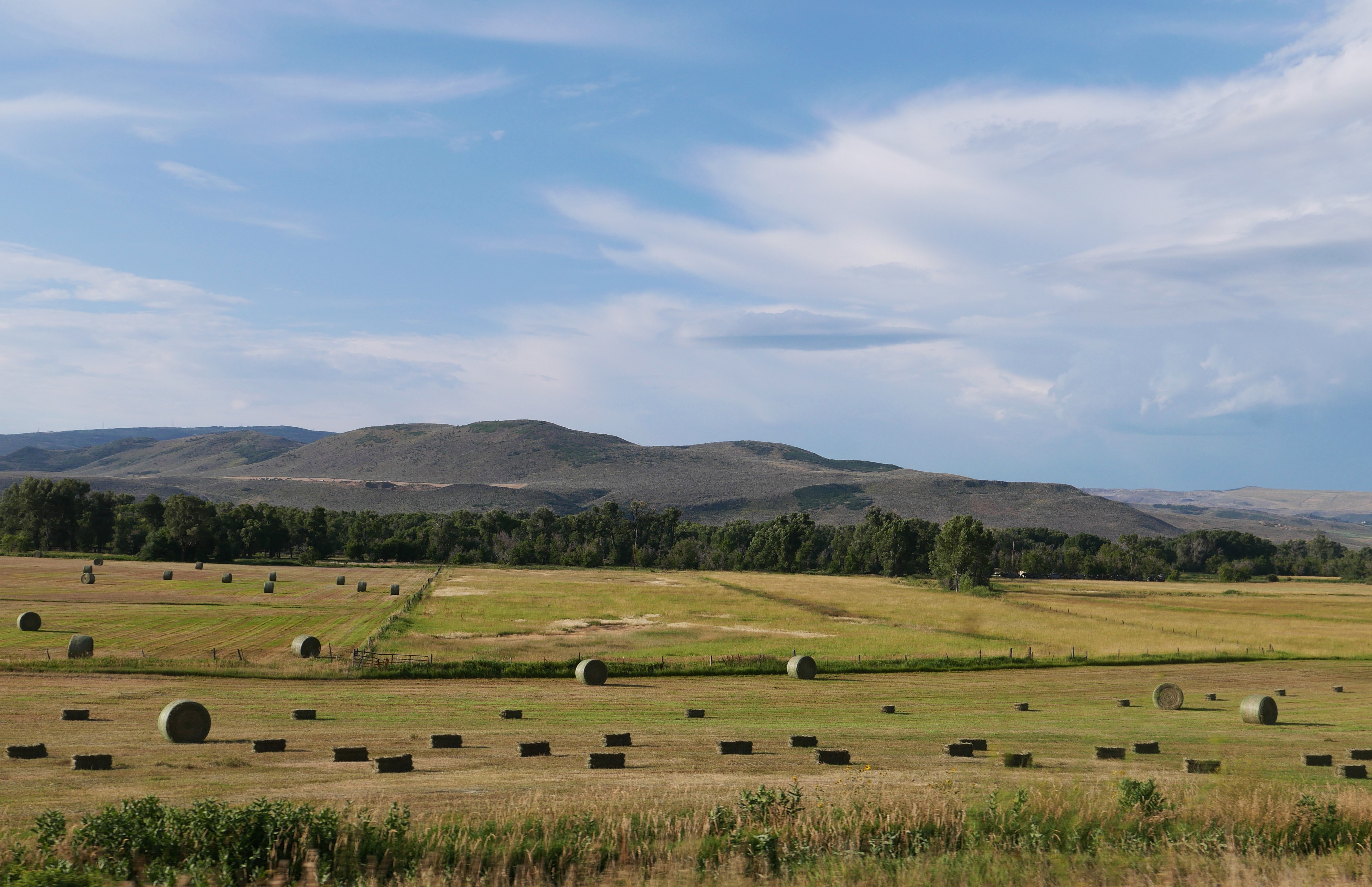
We ended the day in Craig in northwestern Colorado, midway between Denver and Salt Lake City in an area of rolling hills covered with sage brush.


Tomorrow we continue northwest to Pinedale, WY looking forward to more Rocky Mountain riding.


Saturday, August 2, 2025

weekend trip in Colorado

 We decided to take advantage of a quiet weekend and head out on the BMW, staying in Salida for two nights. Yesterday we rode 3 hours from home to Salida and unfortunately it rained about half of the trip. That's why we have rain gear!

overcast skies along US 285 North in the San Luis Valley 

It stopped raining before we arrived in Salida, a town of about 6,000 people on the Arkansas River in the heart of the Rocky Mountains. We walked to Soulcraft Brewing for an early dinner, then enjoyed a root beer float (Mike) and chocolate malt (Lynn) from 50 Burger while we walked through town and along the paved Monarch Spur Trail that follows a section of the old Monarch Spur railroad. As we were walking down the lovely, shaded streets we passed a couple of deer, one a big 6-point buck, lounging in the front yards, not at all concerned about people walking less than 3' away from them. Salida is a friendly town where everyone says hello as they walk by.

This morning we rode from Salida to the top of Independence Pass between Twin Lakes and Aspen. Independence Pass tops out at 12,095' at the Continental Divide and is the second highest paved pass in Colorado (the highest is Cottonwood Pass at 12,116'). 

Twin Lakes


Thunder clouds started forming so we turned around before we reached Aspen and stopped in Twin Lakes for lunch.


Twin Lakes is an old mining town located right on the glacial-formed lakes at the base of Mt. Elbert, the highest mountain in Colorado and the second highest in the US (highest is Denali in Alaska) at 14,433'.


We then rode CO24 to Leadville, at 10,119' the highest incorporated town in the US. Founded during the gold rush, then mined for silver, in the late 1800's it was home to 30,000 people. The skies were overcast and it rained off and on, so we only stopped for ice cream then rode back to Salida.

We love riding on twisting, climbing mountain roads that often have a sheer drop-off with no guardrails, and had a wonderful time on today's high elevation trip in the Rocky Mountains close to home.

Sunday, August 4, 2024

Colorado Rocky Mountains

 We're back in Colorado, starting in Craig and ending the day in Gunnison. This means high elevations over mountain passes and crossing the Continental Divide while enjoying curving, sweeping roads.


We started riding east on US 40 from Craig, riding into the sun through fields and rolling hills. We turned south onto Routt County 27 which is such a fun motorcycle road - hardly any straight sections and all twists and curves.


We turned onto Colorado 131S, another winding and curving road.


We rode along the Colorado River and crossed the river at one point, watching brightly colored boats filled with people enjoying a beautiful day on the water.


Colorado 131 came to an end and we had two options: take I-70 east for 12 miles, or follow US 6 east. We chose US 6 and enjoyed riding through the heavily populated Eagle/Vail and Avon area without battling semi trucks and traffic on the interstate.


US6 ends at US 24 just west of Minturn, and we started climbing up Tennessee Pass toward Leadville. 


A railroad was built here in 1881 to support the mining operations, and mining continues to be important today. This is also the part of the Top of the Rockies Scenic Byway, passing the training area for the 10th Mountain Division during WWII as they prepared for warfare in the Alps. The 2-lane paved road twists and turns with brief interludes of fairly straight roads with amazing high alpine vistas.


We encountered more traffic than any other day during this trip, slowing to a crawl up the mountain behind a long line of cars and trucks hauling oversized loads over the 10,424' Tennessee Pass and then on through Leadville, at 10,119' the highest incorporated town in the United States. We continued on US 24 descending from Leadville toward Buena Vista.


This is part of the Collegiate Peaks Scenic Byway,  57 mile paved route that parallels the Continental Divide at the foot of the Sawatch Mountain Range, the highest concentration of 14,000' or higher peaks in the country.


We hoped to stop for lunch in Buena Vista, but it was packed with tourists so we continued on US 285S alongside the Arkansas River to Poncha Springs. 


We stopped for lunch at the Hunger Shack in Poncha Springs before continuing on US 50 west over Monarch Pass, at 11,312' on the Continental Divide.


Spruce beetles have killed huge numbers of mature trees in the Rockies in Colorado, and we rode past areas where the Watershed Health Project is removing dead trees to reduce the fuel load for wildfires.


We continued winding down Monarch Pass on US 50, riding through the irrigated valley to Gunnison, our stop for the night. We're looking forward to pizza and locally brewed beer to celebrate a gorgeous ride through the heart of the Rockies in Colorado.


Wednesday, June 2, 2021

Wide open valleys, snow-capped mountains, and city riding

 Today had a little bit of everything. We started out in Buena Vista, CO, with partly cloudy skies that allowed the sun to bounce off the glittering snow-capped Sawatch Range mountains that contain several peaks over 14,000'


We headed north on US Route 285 which winds through South Park, a high altitude basin that covers more than 1000 square miles. This is wide-open ranch country at about 9,000' elevation and as we watched the clouds roll in we thought about the hardy and adventurous ranchers who settled in this area.


I started off the day wearing all my warm clothes, liners, and rain gear due to the cool temperatures in the mid 50's to low 60's plus the threat of rain. We stopped along Route 285 for Mike to pull on his rain pants just as the first raindrops started to fall. The rest of the day we rode in and out of rain as we crossed Kenosha Pass at 10,000' elevation, leaving South Park and riding through the Pike National Forest through the Front Range of the Rockies into the Denver area.

We started off the day with very little traffic, and ended up riding in 6-lane traffic into metropolitan Denver to stay with our son in Lakewood, CO. We're here for the next 3 days when we continue our motorcycle trip to Deadwood, SD.


Monday, May 31, 2021

A rainy ride through the Rockies

 The weather forecast wasn't great, with rain and intermittent thunderstorms forecast for the entire day. We opted to leave Pagosa Springs before 8am and wore all our warm clothes, liners, and rain gear as we rode east on US 160 through the Rio Grande National Forest.


We wanted to get over Wolf Creek Pass, at 10,857' at the top of the Continental Divide, before bad weather hit. Originally a 12' wide dirt road constructed in 1916, it's now a multi-lane paved highway with maximum 6.8% grade. 


Although the ski area on the east side of the summit is closed for the year, there's still a significant quantity of snow. We missed the rain, but the temperature dipped to 42 degrees as we zoomed down the mountain into the San Luis Valley, a 122 mile long, 74 mile wide high mountain valley home to small towns and agriculture. 


We turned northeast on Colorado 112 for a short stretch before heading north on US 285 through the valley with the northern part of the Sangre de Cristo mountain range to our right. The clouds dropped down below the tops of the mountains and we rode in and out of rain the rest of the trip.


We ended the day in Buena Vista, a beautiful mountain town at about 8,000' with normally gorgeous views of the Presidential Peaks. The weather should clear up tomorrow and we'll be able to see the mountains as we continue our ride north.