Showing posts with label Gunnison. Show all posts

Monday, August 5, 2024

Zoom Zoom!!

 The last day of a long motorcycle trip (we've been on the road for 18 days) is always bittersweet. We've been having so much fun on the BMW that over breakfast today I could keep going for another 2 or 3 weeks. Yet we're also looking forward to being back home.

Today we rode familiar roads - so familiar that we didn't need to consult a map. We rode west on US 50 out of Gunnison, Colorado for a few miles, enjoying the early morning cooler weather (temperature 52 degrees).


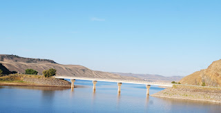
Just as we entered the Curecanti National Recreation Area, a series of three gorgeous reservoirs in the Upper Gunnison River Basin, we turned south on CO 149. 


This is one of our favorite highways to ride because it's a smooth, winding, curving, always fun road plus in a gorgeous part of Colorado.


We rode through Lake City, today a favorite of tourists and folks riding off-road vehicles in the surrounding San Juan mountains with a history as a supply center for regional mining operations in the late 1800's to early 1900's.

Once south of Lake City, we crossed the Slumgullion Earthflow on our way up the twisting hairpin turns to Slumgullion Pass at 11,361'.


There are two major earthflows here - the first occurred 700 years ago when a mass of volcanic rock 4 miles 4 miles long and 2000' wide flowed into the valley.  The second earthflow started 300 years ago and is still moving about 23' per year.

After cresting Slumgullion Pass - with 9% grades this is the steepest maintained road in Colorado - we descended a bit to the Spring Creek Pass at 10,898' and crossed the Continental Divide.


This section of Colorado 149 is the Silver Thread Scenic Byway named for the silver mining in this area. It's amazing to think about how these 2-lane paved highways came to be: starting with Ute Indian hunters who followed game trails, then European explorers on horseback widened the trails, and enterprising people built toll roads - first charging 25 cents for a horse and rider or $1 for a wagon and team of horses. Railroad tracks were laid in the early 1900's and the dirt roads were paved for car traffic. The section between Lake City and Creede wasn't paved until 1968!


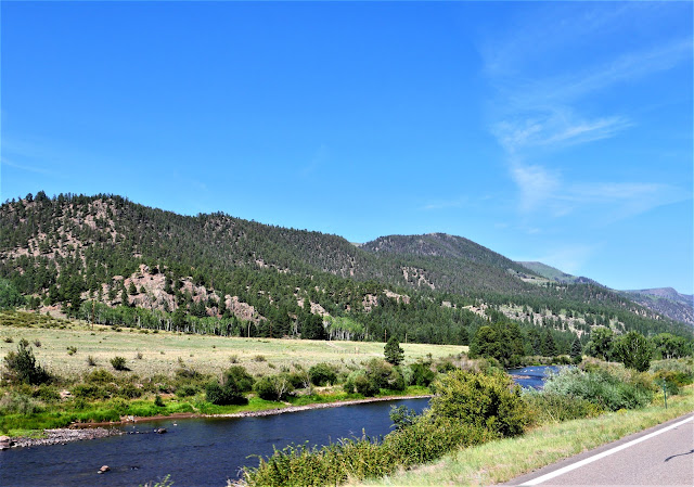
The road between Lake City and Creede, once a booming mining town and now another tourist favorite, runs along the Rio Grande through fields and canyons with the ever-present San Juan mountains as a backdrop.


A few miles later we turned west onto US 160 in South Fork, riding over Wolf Creek Pass at 10,856' and once again crossed the Continental Divide. Click here for a map of the Continental Divide in Colorado.


We wound our way down toward Pagosa Springs, enjoying the curving, twisting descent.


One more highway today - US 84 south from Pagosa Springs to our home in Chromo, CO. We rode 4200 miles through five states (Colorado, Wyoming, Montana, Idaho and Utah) and three Canadian provinces (British Columbia, Alberta and Saskatchewan). 

Although we weren't able to visit Jasper, Banff, and the Icefield Parkway in Canada due to devastating wildfires in the area, we were able to stop in Waterton Lakes and saw glaciers from a distance there and in Glacier National Park

Thanks to Butler Motorcycle Maps we were able to plot our route through stunning areas, choosing as often as possible roads made for motorcycles with sweeping curves and twisting hairpin turns. The only time we had to regroup and plan a different route was in Canada because Butler doesn't make Canadian maps. 

Less than 60 miles total were spent on Interstate highways, and most of the time we rode 2-lane roads that had very little traffic. Some days we saw more eagles and osprey on telephone poles along the road or soaring through the sky above us than people! Along the way we spent two days with our son in Bozeman, Montana and met friendly people every place we stopped, often talking with other motorcycle riders.

We'll plan another long motorcycle trip in 2025 - if you see us on the road, wave and smile!


Sunday, August 4, 2024

Colorado Rocky Mountains

 We're back in Colorado, starting in Craig and ending the day in Gunnison. This means high elevations over mountain passes and crossing the Continental Divide while enjoying curving, sweeping roads.


We started riding east on US 40 from Craig, riding into the sun through fields and rolling hills. We turned south onto Routt County 27 which is such a fun motorcycle road - hardly any straight sections and all twists and curves.


We turned onto Colorado 131S, another winding and curving road.


We rode along the Colorado River and crossed the river at one point, watching brightly colored boats filled with people enjoying a beautiful day on the water.


Colorado 131 came to an end and we had two options: take I-70 east for 12 miles, or follow US 6 east. We chose US 6 and enjoyed riding through the heavily populated Eagle/Vail and Avon area without battling semi trucks and traffic on the interstate.


US6 ends at US 24 just west of Minturn, and we started climbing up Tennessee Pass toward Leadville. 


A railroad was built here in 1881 to support the mining operations, and mining continues to be important today. This is also the part of the Top of the Rockies Scenic Byway, passing the training area for the 10th Mountain Division during WWII as they prepared for warfare in the Alps. The 2-lane paved road twists and turns with brief interludes of fairly straight roads with amazing high alpine vistas.


We encountered more traffic than any other day during this trip, slowing to a crawl up the mountain behind a long line of cars and trucks hauling oversized loads over the 10,424' Tennessee Pass and then on through Leadville, at 10,119' the highest incorporated town in the United States. We continued on US 24 descending from Leadville toward Buena Vista.


This is part of the Collegiate Peaks Scenic Byway,  57 mile paved route that parallels the Continental Divide at the foot of the Sawatch Mountain Range, the highest concentration of 14,000' or higher peaks in the country.


We hoped to stop for lunch in Buena Vista, but it was packed with tourists so we continued on US 285S alongside the Arkansas River to Poncha Springs


We stopped for lunch at the Hunger Shack in Poncha Springs before continuing on US 50 west over Monarch Pass, at 11,312' on the Continental Divide.


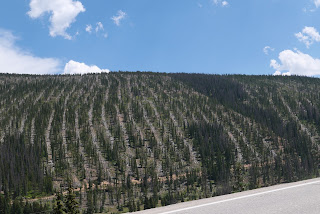
Spruce beetles have killed huge numbers of mature trees in the Rockies in Colorado, and we rode past areas where the Watershed Health Project is removing dead trees to reduce the fuel load for wildfires.


We continued winding down Monarch Pass on US 50, riding through the irrigated valley to Gunnison, our stop for the night. We're looking forward to pizza and locally brewed beer to celebrate a gorgeous ride through the heart of the Rockies in Colorado.


Wednesday, August 5, 2020

Exploring Colorado's mountain passes on the BMW

We've been riding around Colorado for the past few days, discovering new roads that we haven't been on before and riding favorite roads for a second time. We started off heading east from Pagosa Springs on US 160 East, riding past green fields and ranches bordered by the mountains.


Soon we started climbing up in the San Juan mountains, heading up Wolf Creek Pass


The steep road winds and twists up to the top of the Pass at 10,857' where we crossed the Continental Divide for the first time today before we descended down the eastern slope past the Wolf Creek ski area.


In South Fork we turned north onto Colorado 149, the first time we've been on this road and what a find! 149 is the Silver Thread scenic byway that traverses remote parts of the state that were once important in silver mining, and today is an outdoor lover's paradise. The Rio Grande River flows along the highway, which twists and turns to match the river's path.


We followed the Rio Grande through the mountains to the small town of Creede, which in the late 1800's was home to over 10,000 people due to the booming silver mining in the area.


As we continued north past Creede, we stopped at a scenic overlook and discovered we were looking at the headwaters of the Rio Grande where it starts at an elevation of over 13,000' in the San Juan mountains before it travels 1,885 miles to the Gulf of Mexico.


A couple also stopped at the overlook told us about a waterfall just a couple of miles further north, so we turned off the highway to see North Clear Creek Falls, a 100+ foot waterfall formed by volcanic activity 27 million years ago.


Back on the highway, we continued north, climbing up Spring Creek Pass and crossing the Continental Divide for the second time today at 10,889' before we descended down toward Lake City.


The mountains weren't done with us yet as we quickly ascended up the even higher Slumgullion Pass at 11,530'. 


The descent down the north side of Slumgullion Pass at times is a 9% grade, and the sweeping turns made this section a fantastic motorcycle ride. We descended down into Lake City at 8,661'. Much of the town is part of a historic district with many of the original homes from mining days restored to promote tourism. We stopped for lunch at the Lake City Cafe and enjoyed one of the best meals of our trip.

149 continues north along the Lake Fork of the Gunnison River and through Independence Gulch.


149 ends at US 50, just past the Blue Mesa Reservoir.


We turned east onto US 50, our final leg for the day. We rode through Gunnison, then retraced our route from 3 days ago up and over Monarch Pass - at 11,312' our last crossing of the Continental Divide for the day.


We're spending the night in Salida and planning an earlier start tomorrow with a goal of riding to the top of Pike's Peak - 14,115'.

Sunday, July 13, 2014

Discovering Colorado canyons, high mountain passes and mining history on the BMW motorcycle

Rivers, dams, reservoirs, waterfalls, canyons, tunnels, mountain passes, old mining operations, and vibrant mountain towns.

I think we saw just about every type of feature possible in Colorado on our 197 mile motorcycle ride today from Gunnison to Durango. I took more than 150 photos and several videos to try and capture what I saw from my pillion seat on our BMW.

We left Gunnison at 8:30am and headed west on Route 50 into the Curecanti National Recreation Area, a series of three reservoirs along the Gunnison River.


The road sweeps around the reservoirs with views of high mesas and steep, craggy canyons. We turned off onto twisty and winding Colorado 92 at the 390' tall Blue Mesa Dam, the first dam completed on the Gunnison River in 1945. The turbines that provide hydroelectricity are remotely controlled from the Glen Canyon Dam in Page, Arizona.


Route 92 hugs the edges of the canyon to one side and rocky cliffs to the other, occasionally interspersed with meadows, hiking paths, and dirt ATV roads.


Route 92 continues on to the north, out of our way for today's trip. We turned around at an overlook and retraced our route back over the dam, and then continued on Route 50 west to Black Canyon of the Gunnison National Park. As we entered the park I thought that this really wasn't anything special:  green fields with distant views of high mountain peaks. As we drove along the East Portal road, we saw a sign warning about 16% grades and tight turns, and the fun began.


The 2000' tall canyon walls drop at 90 degree angles to the Gunnison River that twists along the bottom of the canyon. We stopped at the lake created by the Crystal Dam and marveled at the Gunnison Tunnel, an 11' by 12' tunnel built between 1905 and 1909 that travels 6 miles from the Gunnison River to provide a reliable source of drinking water to communities in the valley.


We climbed out of the canyon and continued on Route 50 to Montrose, then south on Route 550 to Ouray where we ate lunch on the third floor outside deck of the Ouray Brewery.


 Ouray is located in the San Juan mountains and bills itself as the Switzerland of the US. Originally settled by the Ute Indians, and named for the famous Chief Ouray, miners flocked to the area in the 1870's as part of the gold, silver and zinc mining boom. Unlike mining towns we've visited in Arizona where frequent fires destroyed blocks of buildings year after year, many of the original brick buildings in Ouray still survive.

Ouray is the jumping off point for the thrilling ride up and over the Red Mountain Pass on Route 550, known as the Million Dollar Highway through the Uncompahgre Gorge to the summit. Parts of the road were originally built by Otto Mears in 1883, a remarkable engineering feat in this steep, craggy canyon.


As we twisted and turned around the hairpin curves, we spotted the town of Ouray far below.


Red Mountain is actually a series of three rust-red peaks that get their name from the iron oxide in the rocks.


A few hairpin turns later we came to the viewing area at Bear Creek Falls, where Bear creek drops down to the canyon floor. Look closely and you'll spot hikers sitting next to the cliffs at the bottom of the Falls.


We continued winding our way up the 11,018' pass, passing twisted remains of more than 100 old mining operations along the way. The Idarado Mining Company has been conducting remediation projects in the area since the 1980's to divert water around the toxic tailing piles to keep the streams clear and clean.


It's amazing that this steep, narrow, and twisty pass is kept open all winter. The road reminded us of mountain passes in Europe:  no guardrails, amazingly steep drop-offs from the road to the valley below, and tight hairpin turns.


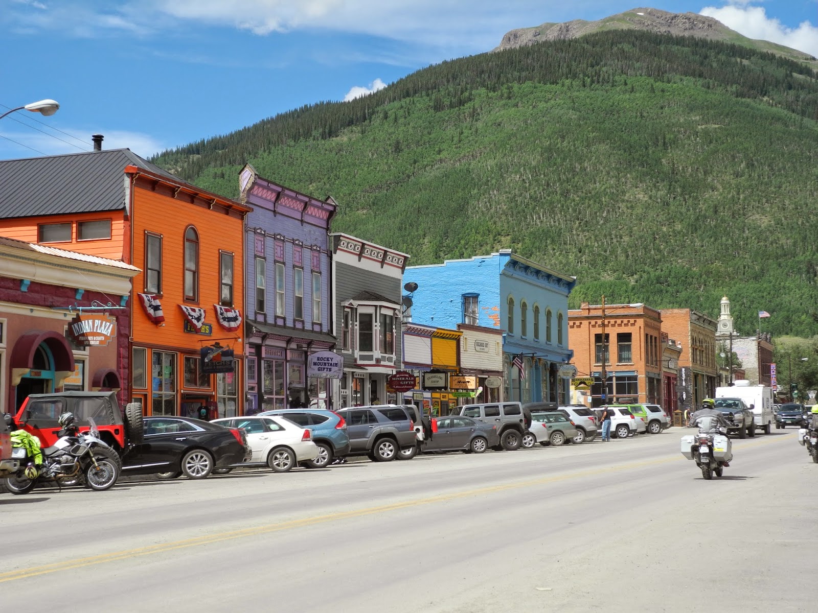
Once we crested Red Mountain Pass, we had two more passes to cross - Coal Bank and Molas - before we dropped down into Silverton at 9,318' elevation. Silverton plays up its mining history with many original and restored buildings and an old-West ambiance.


We continued on Route 550 into Durango, a busy town on the Animas River where we walked through the historic downtown and watched the narrow gauge train steam in from Silverton. Tomorrow we head south toward home, leaving the green mountains of Colorado behind for the high desert of Arizona.