We rode south from our home in Prescott, Arizona on Friday and spent Saturday exploring Bisbee, an old copper mining town built into the side of the mountains in southeastern Arizona.
We stayed at the Oliver House, a boarding house built in 1908 that today has new life as a B&B. Nothing is easy to find in Bisbee due to the narrow, winding roads and alleys. To reach Oliver House, we found a flat spot in a parking lot then climbed up the stairs and across a walkway over a concrete spillway for overflow water. Supposedly Oliver House is haunted, but we didn't see or hear any ghosts during our two-night stay.
We took a fascinating tour into the Queen Mine, the large copper mine started in 1880 and that ended production in 1975. We rode on a 100 year old train 1,500' under the mountain to learn about the dangerous and hard work of mining.
Today we started our trip back home, riding north most of the day on US 191. Just outside Bisbee we rode past corn, hay, and pecan farms in a wide valley between the Chiracahua Mountains to the East and the Dragoon Mountains to the West.
This was Apache country and the home of Cochise, a prominent Native American leader in the mid-1880's.
We rode about 20 miles on I-10 then continued our trip north on US 191 toward Safford, retracing our route from Friday. Once in Safford we continued north on 191 into a part of Arizona new to us. The highway changed from a ruler-straight path to wide sweeping turns as we headed into the mountains that surround Clifton and Morenci. These two towns are home to the Morenci Copper Mine, the largest copper producer in North America. It's an absolutely huge mine that produced 902 million pounds of copper in 2015.
We've ridden past many mines in Arizona, but the size of this mine astounded us. We watched large dump trucks that hold over 200 tons of rock each drive around the mine.
We left the copper mine behind us and saw a sign warning that there are no services for 90 miles. Mike said this is why we bought a GSA with an 8 gallon tank; so we don't have to worry about running out of gas during long stretches between towns. Not only did we have 90 miles to travel before the next gas station, these were 90 twisting miles with tight and technical hairpin turns, sheer drop-offs with no guard rails along the side of the 2-lane paved road, and jaw-dropping views across the White Mountains. We haven't had this much fun on Arizona highways in months!
US 191 between Clifton and Springerville to the north is known as the Coronado Trail named for the route used by the Spanish explorer Francisco Vasquez de Coronado in 1540 as he searched for cities of gold.
We had the road to ourselves as we zoomed through the twisting mountain curves. Signs warned about cattle, deer, elk, and bighorn sheep, but all we saw were 4 deer and a bunch of squirrels. The odometer rolled over to 16,000 miles as we came out of a tight hairpin turn, and then the elevation climbed even higher to 9,000'.
We kept seeing signs for Hannagan Meadow, and while our stomachs had been growling for a couple of hours we didn't hold out hope for a restaurant in the middle of the Apache National Forest. We were pleasantly surprised to find the Hannagan Meadow Lodge where we not only enjoyed a hot lunch, but also had fun talking with Brian from Tucson. He was riding a Royal Enfield Himalayan scouting out a route for a bicycle trip.
Hannagan Meadow is named after a Nevada miner who also did cattle ranching in this area. The Lodge opened in 1926 and is the only place to stay or eat between Clifton and Alpine.
As we continued north on 191/Coronado Trail, the views opened up and instead of tight hairpin turns we spend around wide sweepers. Over 550,000 acres of this forest burned in 2011 and signs warn of flash flooding.
Once we rode through Springerville, we were officially off the Coronado Trail and rode through grasslands at around 6000' elevation on the Mogollon Rim toward Show Low.
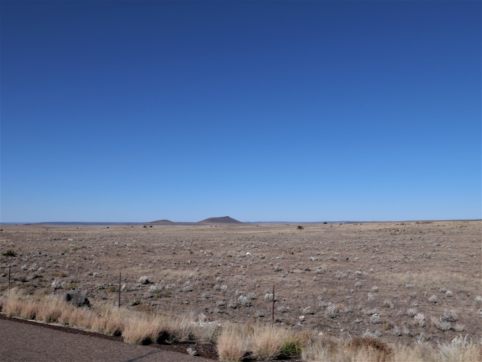
We rode almost 8 hours today and covered 351 miles through some of the most beautiful and remote parts of Arizona we've yet explored. Tomorrow is a short day of 190 miles from Show Low, a town named for a card game.
Showing posts with label US 191. Show all posts
Sunday, October 20, 2019
Wednesday, July 19, 2017
Scenic byways and lost highways on the BMW motorcycle
What a gorgeous ride we had today! We love riding on roads with little to no traffic and jaw-dropping scenery, and today's ride had it all. We left Grand Junction at 6:30am both to beat the heat and to avoid late-afternoon monsoon weather. Summer is monsoon season in the West, with thunderstorms, hail, and often torrential downpours that cause low-lying areas to flood. Definitely not a good time to be on a motorcycle!
We started our day riding south on CO 141, the Unaweep Tabeguache Scenic Byway. We were on this road a couple of years ago heading into Grand Junction, and we weren't disappointed with the trip in the opposite direction.
People lived in these canyons and river valleys on the Colorado Plateau at least 10,000 years before the arrival of the first Europeans - the Spanish. Miners came here in the late 1800's looking for gold, copper and other minerals, and today there are a few, isolated ranches scattered across the valleys.
I spotted a ruined sandstone building to the side of the highway, and later discovered that it's the Driggs Mansion, a one-story sandstone house built around 1918 by Italian stonemasons, using local stone from nearby canyons. Today it's on the Colorado State Register of Historic Properties.
Soon after we passed the Driggs Mansion, our odometer turned over to 49,000 miles. We reached 48,000 miles on the first day of this trip, and have a few hundred more miles to go before we reach home.
The Dolores River runs through the canyon, with rock cliffs that tower over 1000' above us on both sides of the 2-lane road.
We stopped to learn more about the Hanging Flume, a 10-mile long engineering feat built in the late 1800's to funnel water from the Delores River to provide enough pressure for hydraulic gold mining for the Lone Tree Mining Company. The wooden trestles cling to the rock canyon walls hundreds of feet above the river below, and originally supported wooden boxes to channel the water.
Look closely at the right side of the canyon wall, and you'll see what's left of the original Hanging Flume. Here's a close-up:
We continued curving and twisting our way south on CO 141 through more canyons until we reached Naturita, a small town of around 650 people where CO 141 turned into a wide, open valley, leaving the canyons behind.
This section of CO 141 is marked by Butler Motorcycle Maps as a 'Lost Highway', meaning it's remote, often without cell service or stops for food or gas, and very lightly traveled. We loved it! At one point I saw a sign stating "Disappointment Valley" and I could easily understand how someone might be highly disappointed moving here.
CO 141 ends at US 491, on the northern edge of Canyon of the Ancients National Memorial. We headed northwest, quickly crossing into Utah and stopped in Monticello for lunch. Much of this part of the West was settled by Mormon pioneers in the late 1880's, and from 1948-1960 it was the site of several uranium mines. Today there are 27 windmills outside town.
We turned south onto US 191, riding through small towns on the dry Colorado Plateau, and encountering a mama cow and her calf running alongside the highway on the Ute reservation. Most of the day we rode through open range land, with the possibility of cattle or horses near or on the highway - and the cattle have the right-of-way!
Our last turn of the day was onto US 160, riding past Carson Mesa and Comb Ridge toward Kayenta in the Navajo Nation.
We rode 288 miles in about 8 hours, taking our time to enjoy the changing scenery, bright blue skies, and the highway mostly to ourselves. Tomorrow we'll end our week-long journey, and hopefully miss the monsoons!
Subscribe to:
Posts (Atom)