

We stayed at the Oliver House, a boarding house built in 1908 that today has new life as a B&B. Nothing is easy to find in Bisbee due to the narrow, winding roads and alleys. To reach Oliver House, we found a flat spot in a parking lot then climbed up the stairs and across a walkway over a concrete spillway for overflow water. Supposedly Oliver House is haunted, but we didn't see or hear any ghosts during our two-night stay.

We took a fascinating tour into the Queen Mine, the large copper mine started in 1880 and that ended production in 1975. We rode on a 100 year old train 1,500' under the mountain to learn about the dangerous and hard work of mining.
Today we started our trip back home, riding north most of the day on US 191. Just outside Bisbee we rode past corn, hay, and pecan farms in a wide valley between the Chiracahua Mountains to the East and the Dragoon Mountains to the West.


This was Apache country and the home of Cochise, a prominent Native American leader in the mid-1880's.
We rode about 20 miles on I-10 then continued our trip north on US 191 toward Safford, retracing our route from Friday. Once in Safford we continued north on 191 into a part of Arizona new to us. The highway changed from a ruler-straight path to wide sweeping turns as we headed into the mountains that surround Clifton and Morenci. These two towns are home to the Morenci Copper Mine, the largest copper producer in North America. It's an absolutely huge mine that produced 902 million pounds of copper in 2015.


We've ridden past many mines in Arizona, but the size of this mine astounded us. We watched large dump trucks that hold over 200 tons of rock each drive around the mine.

We left the copper mine behind us and saw a sign warning that there are no services for 90 miles. Mike said this is why we bought a GSA with an 8 gallon tank; so we don't have to worry about running out of gas during long stretches between towns. Not only did we have 90 miles to travel before the next gas station, these were 90 twisting miles with tight and technical hairpin turns, sheer drop-offs with no guard rails along the side of the 2-lane paved road, and jaw-dropping views across the White Mountains. We haven't had this much fun on Arizona highways in months!
US 191 between Clifton and Springerville to the north is known as the Coronado Trail named for the route used by the Spanish explorer Francisco Vasquez de Coronado in 1540 as he searched for cities of gold.


We had the road to ourselves as we zoomed through the twisting mountain curves. Signs warned about cattle, deer, elk, and bighorn sheep, but all we saw were 4 deer and a bunch of squirrels. The odometer rolled over to 16,000 miles as we came out of a tight hairpin turn, and then the elevation climbed even higher to 9,000'.
We kept seeing signs for Hannagan Meadow, and while our stomachs had been growling for a couple of hours we didn't hold out hope for a restaurant in the middle of the Apache National Forest. We were pleasantly surprised to find the Hannagan Meadow Lodge where we not only enjoyed a hot lunch, but also had fun talking with Brian from Tucson. He was riding a Royal Enfield Himalayan scouting out a route for a bicycle trip.


Hannagan Meadow is named after a Nevada miner who also did cattle ranching in this area. The Lodge opened in 1926 and is the only place to stay or eat between Clifton and Alpine.
As we continued north on 191/Coronado Trail, the views opened up and instead of tight hairpin turns we spend around wide sweepers. Over 550,000 acres of this forest burned in 2011 and signs warn of flash flooding.
Once we rode through Springerville, we were officially off the Coronado Trail and rode through grasslands at around 6000' elevation on the Mogollon Rim toward Show Low.
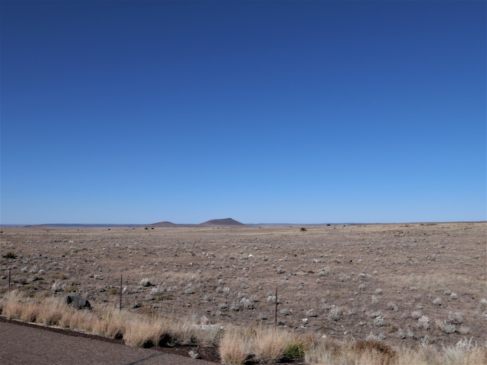
We rode almost 8 hours today and covered 351 miles through some of the most beautiful and remote parts of Arizona we've yet explored. Tomorrow is a short day of 190 miles from Show Low, a town named for a card game.


