Showing posts with label Wild Atlantic Way. Show all posts

Thursday, August 10, 2017

The Wild Atlantic Way by motorcycle: Look right, stay left, watch out for the bends, mind the sheep and mountain goats, and don't forget about the cattle crossing!

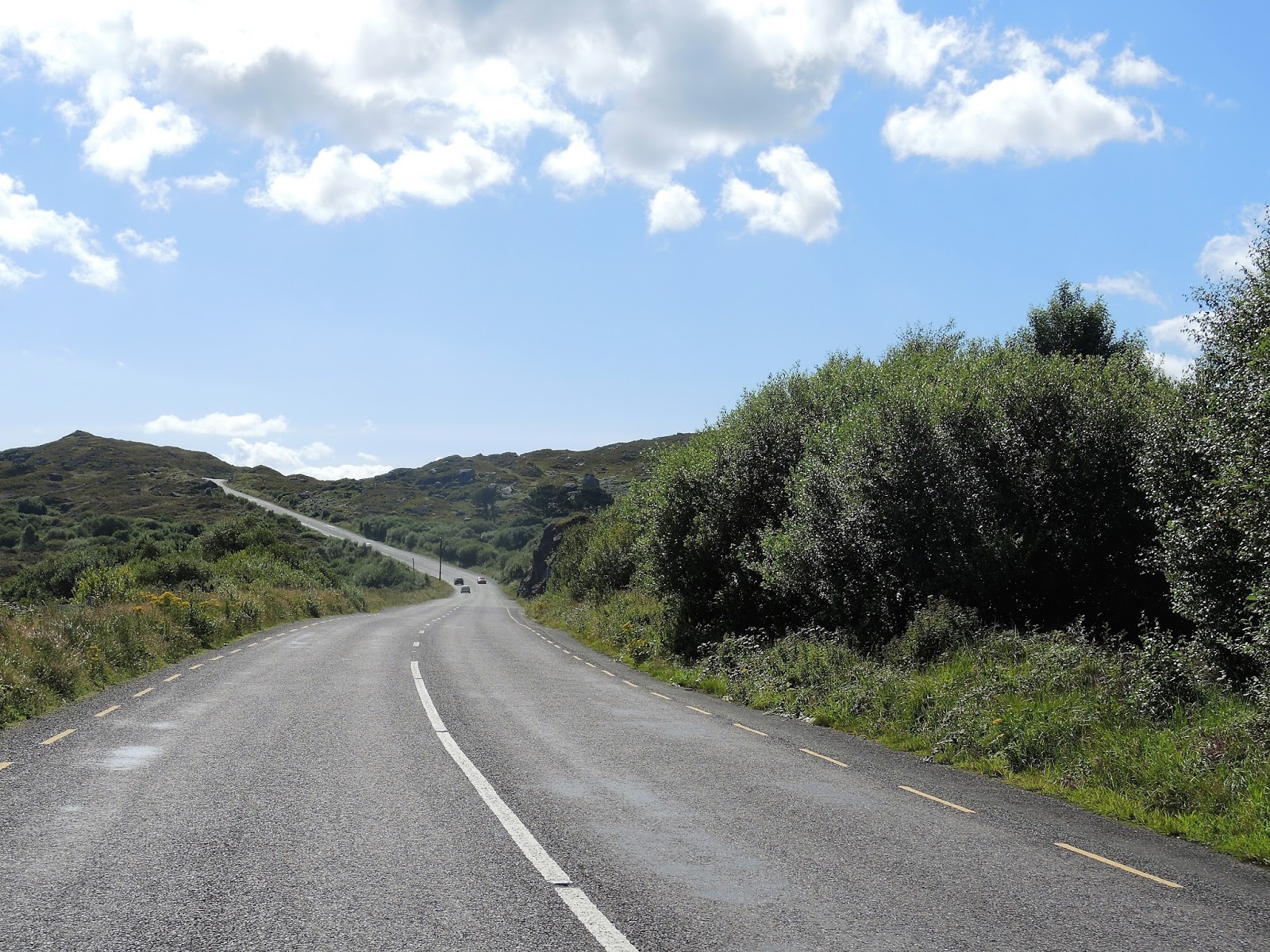
When we picked up the BMW from Celtic Rider, Paul reminded everyone to always "look right and stay left" as we learned to ride on the 'opposite' side of the road. Today Mike kept that in mind, as he also dealt with sweepers and 'bends', or as we would call them 'twisties' riding up, over, and through mountain ranges in southwestern Ireland on the Wild Atlantic Way that winds up the southwestern coast of Ireland.

Wayne and Colleen on the Healy Mountain Pass

Then there were the sheep - hundreds of sheep on the hillsides, high up the sheer rock walls of the mountains, and often standing in the middle of the road or voraciously eating leaves.


At one point earlier in the day, all traffic came to a halt as a family herded their cows across the narrow lane. Toward the end of our ride, a black mountain goat calmly sauntered across the road, again stopping traffic in both directions. He lives there, we're visitors, and he's obviously in charge.

Our day started with brilliant blue skies and sunshine, a comparative rarity in cloudy and rainy Ireland. We waved good-bye to Grianne, our host at the Desmond House in Kinsale after enjoying a stupendous breakfast prepared by herself and her husband, Paddy. 


Our first stop was Charles Fort, just outside Kinsale. Completed in 1682, it was built on the site of an earlier fort. The star-shaped fort is designed to repel cannon attack, and it occupies a high point on the harbor to defend the town from the sea.


Our route today took us on normal-size 2-lane highways, narrow 2-lane roadways, even more narrow side roads, and every now and then a lane with grass growing down the middle - my very favorite Irish road.


Along the route we stopped at the Dromberg Stone Circle, a circle of 7 standing stones with an urn burial in the center, established between 153 and 127 AD.


We stopped in Glandore, a small town in County Cork on the ocean, where we sat outside to enjoy our lunch and watched children in the sailing school take an ice cream break.


After lunch we rode through Baltimore, a harbor town raided by pirates in 1631 who sold the townspeople into slavery. The town plays up this history in a variety of ways, including a 'pirate' climbing the church wall.


We kept heading north into the Beara Peninsula, one of 5 peninsulas in this part of Ireland. We rode on narrow lanes with hedgerows so close to the side of the road that at times my knees were brushing the bushes on my left.


Then it was up and over the Healy Pass through the Caha Mountains, where we first encountered the sheep.


We continued on N71 into Kenmare, the start of the Ring of Kerry on the Iveragh Peninsula. N71 on this stretch goes through Moll's Gap with views of Ireland's highest mountain range, the Macgillycuddy's Reeks, the Black Valley, and lakes around Killarney, our stop for the next 2 nights.


We rode 150 miles over 7 hours through some of the most beautiful country and fun motorcycle roads we've ever been on. Tomorrow we complete the Ring of Kerry, riding along the Atlantic coast. 

Wednesday, August 9, 2017

Rain, castles, and more rain in Ireland on a BMW motorcycle

"It's a lovely, fresh rain" said our waiter last night, as the rain poured outside the open glass window of the pub. With that phrase in mind, we pulled on rain gear in the morning before we left Kilkenny, and made good use of the raingear as it rained off and on throughout the day.

We parked our motorcycles outside Cahir Castle, admiring the ducks in the river outside the castle walls as the rain came down hard.


Built in the 13th century as a defensive castle, it was purchased in 1375 by the Butler family, who owned much of this area of Ireland, including several other castles. Because the family surrendered to Cromwell in 1650, the castle was spared destruction and was remodeled and renovated several times over the years.


Some of the rooms inside the castle have been recreated as they might have appeared around 1600. The banquet hall features an impressive set of antlers high on the wall.

We ate lunch in the Shamrock Lounge just down the street from the castle, because how could you go wrong eating in a place called the Shamrock Lounge? The food didn't disappoint, and we had a friendly chat with our waitress and the owner.


As you can tell from the photo, it started to rain again as we finished lunch, making it difficult to take pictures of the countryside as we rode along on narrow paved roads with hedgerows so close I could reach out and touch them - if I wasn't worried about thorns.


The rain held off as we pulled into the parking lot of Blarney Castle, home of the famous Blarney Stone.


A wooden structure was built on this site in the 10th century, followed by around 1200 with a stone structure. The current castle was built in 1446 on the foundations of the stone structure. We walked through gardens of brilliantly-colored flowers on our way to the castle.


The guidebook wasn't exaggerating about the steep, narrow, and slippery winding stone staircases necessary to climb up to the top of the castle to reach the Blarney Stone. It didn't help that a misting rain was falling, making the stones even more slippery. The climb, however, was worth it.


We continued our ride south to the town of Kinsale, located on the southwest coast in County Cork, and the official start of Ireland's Wild Atlantic Way that we'll be traveling for the next 2 days. We're hoping for less rain!