Monday, August 5, 2024

Zoom Zoom!!

 The last day of a long motorcycle trip (we've been on the road for 18 days) is always bittersweet. We've been having so much fun on the BMW that over breakfast today I could keep going for another 2 or 3 weeks. Yet we're also looking forward to being back home.

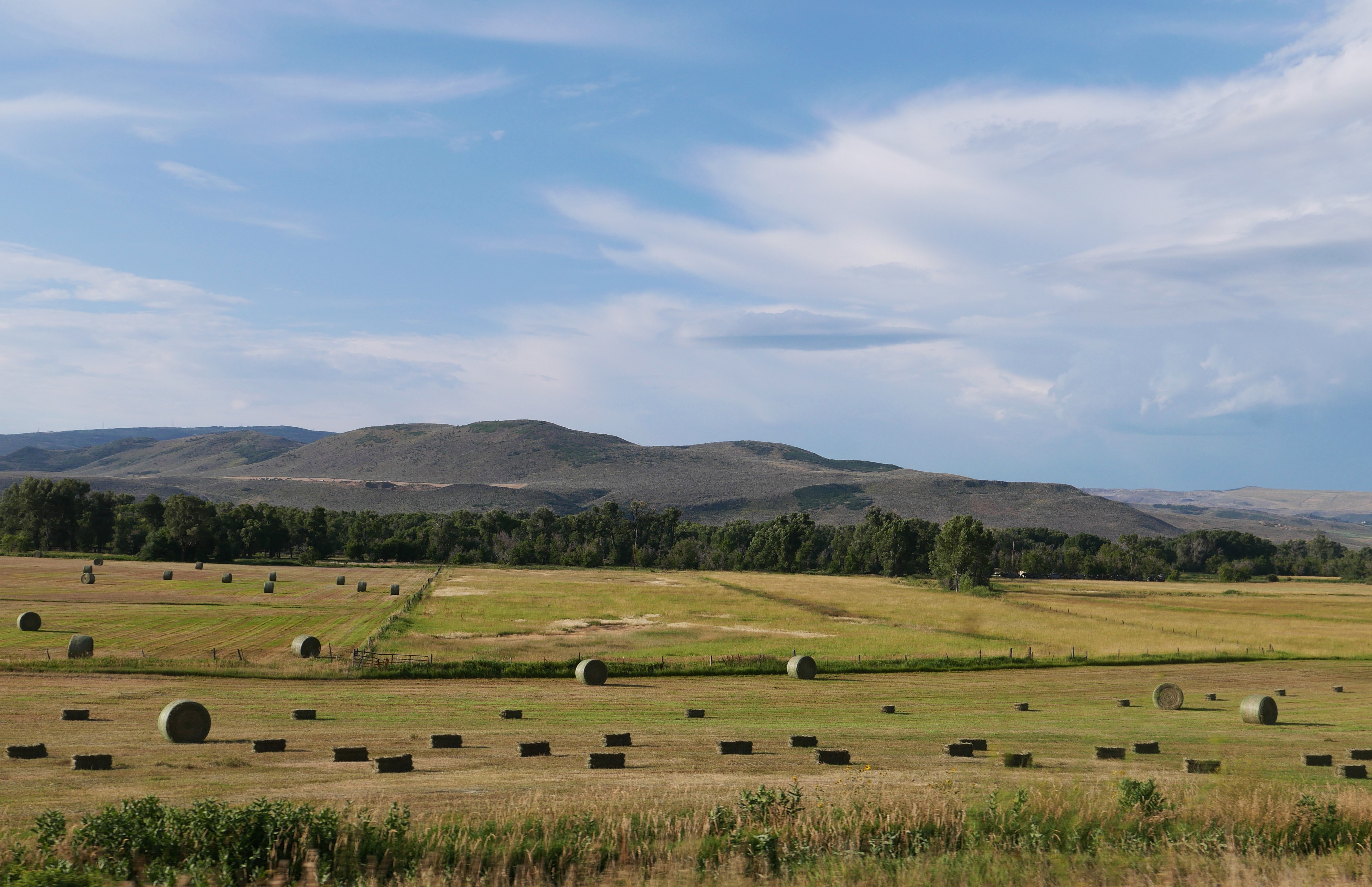
Today we rode familiar roads - so familiar that we didn't need to consult a map. We rode west on US 50 out of Gunnison, Colorado for a few miles, enjoying the early morning cooler weather (temperature 52 degrees).


Just as we entered the Curecanti National Recreation Area, a series of three gorgeous reservoirs in the Upper Gunnison River Basin, we turned south on CO 149. 


This is one of our favorite highways to ride because it's a smooth, winding, curving, always fun road plus in a gorgeous part of Colorado.


We rode through Lake City, today a favorite of tourists and folks riding off-road vehicles in the surrounding San Juan mountains with a history as a supply center for regional mining operations in the late 1800's to early 1900's.

Once south of Lake City, we crossed the Slumgullion Earthflow on our way up the twisting hairpin turns to Slumgullion Pass at 11,361'.


There are two major earthflows here - the first occurred 700 years ago when a mass of volcanic rock 4 miles 4 miles long and 2000' wide flowed into the valley.  The second earthflow started 300 years ago and is still moving about 23' per year.

After cresting Slumgullion Pass - with 9% grades this is the steepest maintained road in Colorado - we descended a bit to the Spring Creek Pass at 10,898' and crossed the Continental Divide.


This section of Colorado 149 is the Silver Thread Scenic Byway named for the silver mining in this area. It's amazing to think about how these 2-lane paved highways came to be: starting with Ute Indian hunters who followed game trails, then European explorers on horseback widened the trails, and enterprising people built toll roads - first charging 25 cents for a horse and rider or $1 for a wagon and team of horses. Railroad tracks were laid in the early 1900's and the dirt roads were paved for car traffic. The section between Lake City and Creede wasn't paved until 1968!


The road between Lake City and Creede, once a booming mining town and now another tourist favorite, runs along the Rio Grande through fields and canyons with the ever-present San Juan mountains as a backdrop.


A few miles later we turned west onto US 160 in South Fork, riding over Wolf Creek Pass at 10,856' and once again crossed the Continental Divide. Click here for a map of the Continental Divide in Colorado.


We wound our way down toward Pagosa Springs, enjoying the curving, twisting descent.


One more highway today - US 84 south from Pagosa Springs to our home in Chromo, CO. We rode 4200 miles through five states (Colorado, Wyoming, Montana, Idaho and Utah) and three Canadian provinces (British Columbia, Alberta and Saskatchewan). 

Although we weren't able to visit Jasper, Banff, and the Icefield Parkway in Canada due to devastating wildfires in the area, we were able to stop in Waterton Lakes and saw glaciers from a distance there and in Glacier National Park

Thanks to Butler Motorcycle Maps we were able to plot our route through stunning areas, choosing as often as possible roads made for motorcycles with sweeping curves and twisting hairpin turns. The only time we had to regroup and plan a different route was in Canada because Butler doesn't make Canadian maps. 

Less than 60 miles total were spent on Interstate highways, and most of the time we rode 2-lane roads that had very little traffic. Some days we saw more eagles and osprey on telephone poles along the road or soaring through the sky above us than people! Along the way we spent two days with our son in Bozeman, Montana and met friendly people every place we stopped, often talking with other motorcycle riders.

We'll plan another long motorcycle trip in 2025 - if you see us on the road, wave and smile!


Sunday, August 4, 2024

Colorado Rocky Mountains

 We're back in Colorado, starting in Craig and ending the day in Gunnison. This means high elevations over mountain passes and crossing the Continental Divide while enjoying curving, sweeping roads.


We started riding east on US 40 from Craig, riding into the sun through fields and rolling hills. We turned south onto Routt County 27 which is such a fun motorcycle road - hardly any straight sections and all twists and curves.


We turned onto Colorado 131S, another winding and curving road.


We rode along the Colorado River and crossed the river at one point, watching brightly colored boats filled with people enjoying a beautiful day on the water.


Colorado 131 came to an end and we had two options: take I-70 east for 12 miles, or follow US 6 east. We chose US 6 and enjoyed riding through the heavily populated Eagle/Vail and Avon area without battling semi trucks and traffic on the interstate.


US6 ends at US 24 just west of Minturn, and we started climbing up Tennessee Pass toward Leadville. 


A railroad was built here in 1881 to support the mining operations, and mining continues to be important today. This is also the part of the Top of the Rockies Scenic Byway, passing the training area for the 10th Mountain Division during WWII as they prepared for warfare in the Alps. The 2-lane paved road twists and turns with brief interludes of fairly straight roads with amazing high alpine vistas.


We encountered more traffic than any other day during this trip, slowing to a crawl up the mountain behind a long line of cars and trucks hauling oversized loads over the 10,424' Tennessee Pass and then on through Leadville, at 10,119' the highest incorporated town in the United States. We continued on US 24 descending from Leadville toward Buena Vista.


This is part of the Collegiate Peaks Scenic Byway,  57 mile paved route that parallels the Continental Divide at the foot of the Sawatch Mountain Range, the highest concentration of 14,000' or higher peaks in the country.


We hoped to stop for lunch in Buena Vista, but it was packed with tourists so we continued on US 285S alongside the Arkansas River to Poncha Springs


We stopped for lunch at the Hunger Shack in Poncha Springs before continuing on US 50 west over Monarch Pass, at 11,312' on the Continental Divide.


Spruce beetles have killed huge numbers of mature trees in the Rockies in Colorado, and we rode past areas where the Watershed Health Project is removing dead trees to reduce the fuel load for wildfires.


We continued winding down Monarch Pass on US 50, riding through the irrigated valley to Gunnison, our stop for the night. We're looking forward to pizza and locally brewed beer to celebrate a gorgeous ride through the heart of the Rockies in Colorado.


Saturday, August 3, 2024

Wyoming into Colorado under hazy skies from wildfires in the West

We're in the thick of fire season in the West and even though there aren't any fires near us, the skies are hazy and smoky. We still had a wonderful ride today from Riverton, Wyoming just across the Colorado border to Craig.

Our day started riding south on Wyoming Highway 135, designated by Butler Motorcycle Maps as a lonely highway.


Usually when we're on a Butler lonely road we see perhaps 1 or 2 vehicles per hour. Perhaps because today is a Saturday there were several cars, trucks, and even a few motorcycles on the road.  It's a beautiful route with long views across empty land except for a few scattered cattle.


We then turned onto US 287 continuing south and east. This section of the highway is the Chief Washakie Trail, named after a chief of the Eastern Shoshone Indians of Wyoming in the mid 1800's.


This section of US 287 is also part of the California Historic Trail (over 5000 miles long in 8 states that over 250,000 people used in the 1840's and 1850's looking for gold and farmland), the Mormon Pioneer National Historic Trail (1300 mile route from Illinois to Utah used by Mormons in 1846-1847), the Oregon National Historic Trail (more than 2000 miles of wagon trail from Missouri to Oregon from 1836-1846) and the Pony Express National Historic Trail (it only took 10 days for mail to go from Independence, Missouri to Sacramento, California over a 1800 mile trail between April 1860 and October 1861).


Riding along the 2-lane highway today it was difficult to imagine hundreds of people walking and riding their way west through this area. We rode past Split Rock, an imposing and crucial landmark for the western-bound travelers.


In Rawlins we hopped on I-80 for 20 miles east, turning onto WY 130 to Saratoga where we stopped for lunch. It took us three tries to find a lunch spot: the first place didn't open until 2pm, the second place only served breakfast items, and we hit the jackpot with the third spot: The Malt for a burger, Southern fried chicken sandwich, salad and a chocolate malt. 

The temperature was now reaching toward 90 degrees and we thoroughly enjoyed the next part of the trip: WY 130 south to WY 230 south and then WY 70 west on the Battle Pass Scenic Byway which twists, curves and turns to 9955' as it crosses the Continental Divide. That meant much cooler temperatures and a gorgeous ride through the Medicine Bow National Forest through the Sierra Madre Mountains. 


Once again there were many open range signs warning us about the possibility of cattle on the road. We didn't see any cows, but did see one horse and one sheep - domestic, not wild.


As we descended back down to about 6000' elevation the temperature rose to the high 90's so we stopped and poured cold water on our shirts to gain some evaporative cooling for the last hour of today's ride.

We made our final turn south onto WY 789 in Baggs, and a few miles later crossed into Colorado on our way into Craig, our stop for the night.


Despite the hazy skies from wildfires we had a wonderful ride today exploring southern Wyoming and crossing into our home state of Colorado. 


Friday, August 2, 2024

Scenic byways through mountains and canyons

 What a day! We started from Columbus, MT just before 8am, hoping to beat as much of the predicted high temperatures as possible. We started on Montana Highway 78 heading south toward Red Lodge through cultivated fields with mountain backdrops.


In Red Lodge we turned onto US 212, in this next stretch known as the Beartooth Highway that twists through hairpin turns with sheer, rocky drops off the side as it winds it's way into Wyoming and over Beartooth Pass at 10,947' above the treeline. This is not only an absolutely beautiful drive, it's a ton of fun on a motorcycle.


Near the top of the pass we crossed from Montana into Wyoming.


We passed several high mountain lakes and then a group of motorcycles, one with a side car.


We started seeing signs warning about cows in the road, and around the next few curves came across several cows.


After descending Beartooth Pass we turned south onto Wyoming Highway 296, the Chief Joseph Scenic Byway.   The route winds through the Shoshone National Forest through the Absaroka Mountains. Although not as high elevation as the Beartooths, this route is just as beautiful with curving roads through the forested mountains and several ranches with open ranges - which meant more cows on the road.


We had been on the road for over 2 hours when we stopped at the Sunlight Creek bridge and overlook for a snack and bathroom break. This is the highest bridge in Wyoming over the deep Sunlight Creek canyon. - so far down that it's challenging to see the creek from the bridge.


We shed extra layers of motorcycle gear liners as we were now riding into lower elevations and warmer temperatures before we continued south on the Chief Joseph Scenic Byway, named for the Native American chief of the Nez Perce tribe who led his people through this area attempting to flee to Canada instead of being forced onto a reservation.


Wyoming 296 ends at Wyoming 120 where we turned east toward Cody. The terrain was now dusty, dry hills with occasional rocky outcroppings that meant the road was mostly straight with some curves around the higher hills.


We stopped in Cody, founded in 1896 by Buffalo Bill Cody who was impressed with the rich soil, scenery, hunting, and proximity to Yellowstone National Park (only 52 miles away). Continuing on toward Thermopolis, the BMW's odometer rolled over to 49000 miles; we've ridden over 3000 miles so far on this trip.


We've stayed in Thermopolis before, taking advantage of the Hot Springs state park but we still had about 40 miles to ride for the day. Instead of the hot springs, we stopped at a McDonald's so Mike could get a strawberry shake and we both drank ice water to try and cool off as the temperature was now 99-101 degrees. I dipped my shirt in water to try for some evaporative cooling - it helped a bit until the shirt dried.

We now turned onto a combined route with US 20 and Wyoming 789 for the final part of today's ride. The first few miles were the best - through Wind River Canyon where the rock walls rise 2500' above the 2-lane highway.


As we rode out of the canyon we passed Boysen Reservoir which stretches for miles along the highway.


We rode 297 miles today, ending at Riverton, Wyoming. We saw more motorcycles on the road today than we have during the entire past two weeks with so many riders out enjoying the scenic byways, twisting hairpin turns, curving and sweeping roads, and fabulous scenery.  We're anticipating hot temperatures for the next two days as we continue south toward Colorado - but that doesn't change our enthusiasm for what each day will bring on the BMW.