Like so many things, our plans changed. Steve and Kim weren't able to join us and we're down to two motorcycles: Tom and Christine's Victory touring bike and our BMW R1200 GS. The weather report is calling for a 30% chance of rain today and tomorrow, and because it's cool in the mountains for our first day's ride I start out wearing rain gear and all my jacket liners in order to stay warm.
We headed north on familiar roads, then turned west on Route 260, which runs along the Mogollon Rim, 200 miles of sandstone and limestone cliffs towering 3000' that form the southwestern edge of the Colorado Plateau. Much of the area is covered with pine forests, part of the Tonto National Forest which covers 2,873,200 acres. It's the largest forest in Arizona, and the 5th largest national forest in the US.
There was very little traffic on the roads that wound up and around the cliffs. We stopped in Strawberry to stretch our legs in the Sportsman Chalet, a fun bar and grill with hunting and Easter decorations inside.
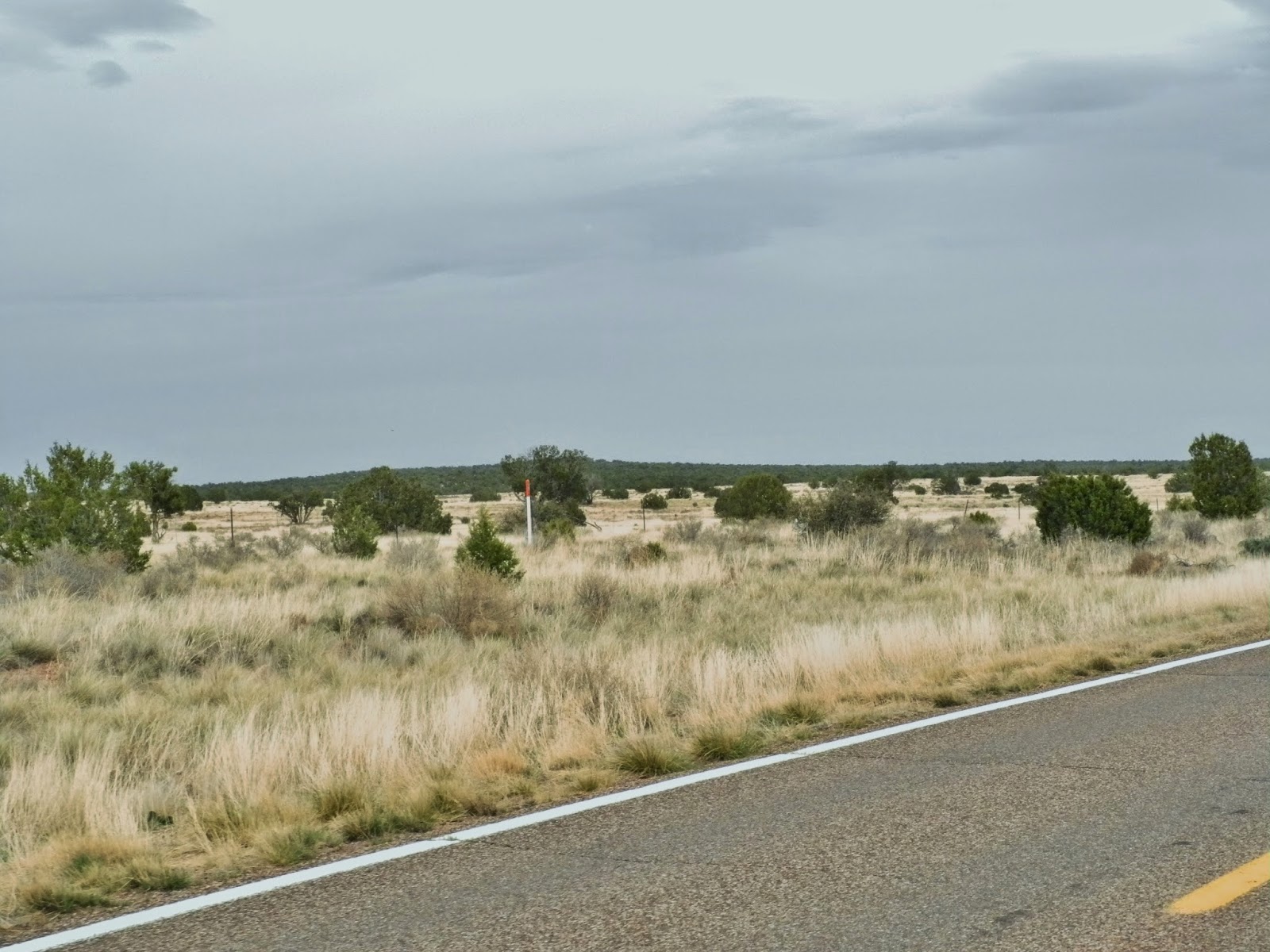
After Strawberry we continued to Snowflake, and then south to our destination for today: Show Low. Our route took us along the top of the Mogollon rim with long views of prarie and small, scrubby trees.
Show Low was founded in 1870, and received its name when two local men decided there wasn't room for both of them in town. They agreed to a game of cards to decide who was going to move away. According to the story, Clark said "If you can show low, you win." Cooley turned up the deuce of clubs and replied, "Show low it is." The name stuck, and the main street is called Deuce of Clubs.
Tomorrow we continue south to Sierra Vista, where we plan to stay two nights to explore Bisbee, Tombstone, and the Kartchner Caverns.


No comments:
Post a Comment