Thursday, September 24, 2020

345 miles today from home in Arizona to La Verkin, Utah

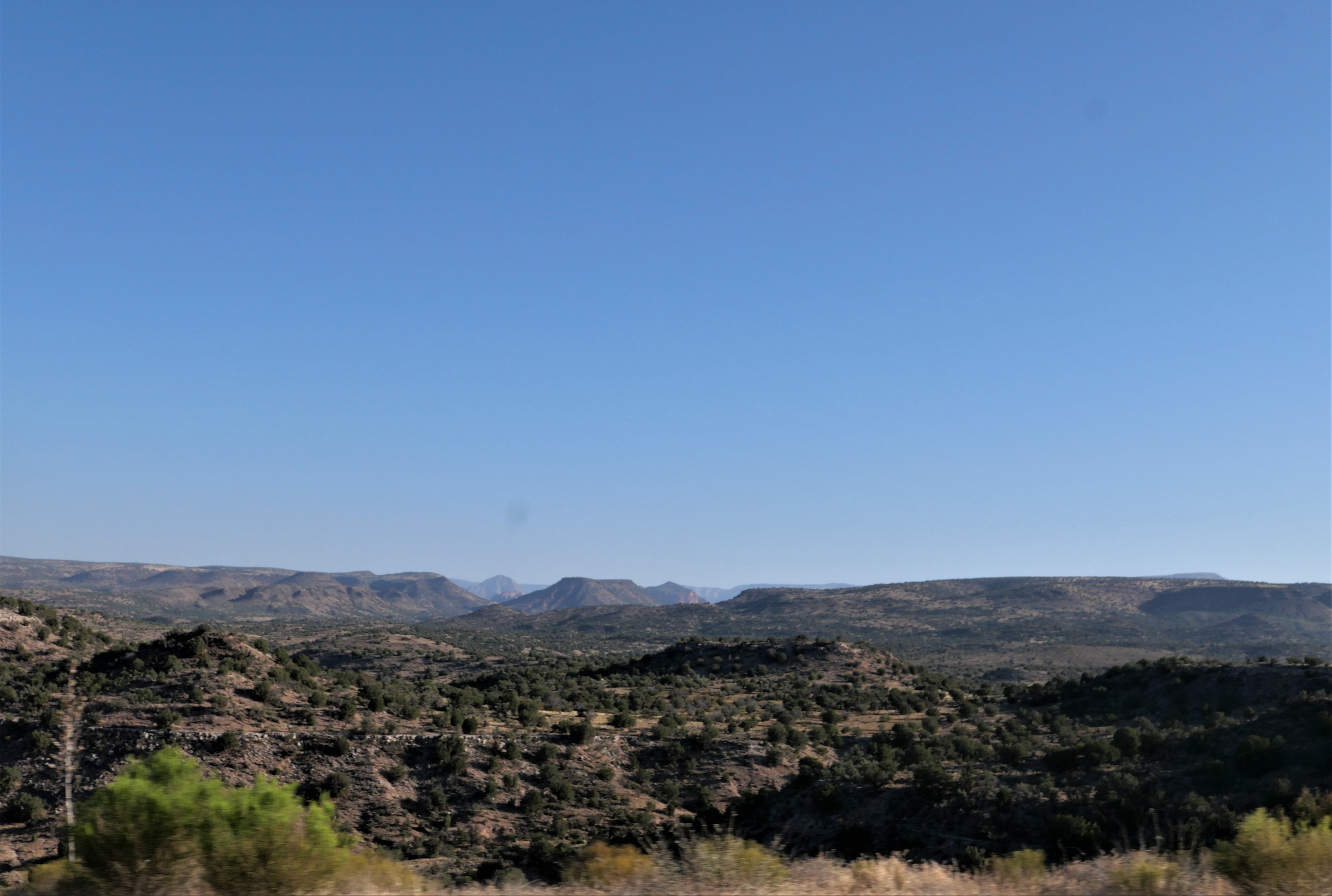
 We started a 4-day trip this morning, leaving our home in Prescott, Arizona and heading north first to Flagstaff, and then continuing north on US 89 through the high desert of the Navajo Reservation.


This landscape looks almost other-worldly, and even though we've ridden this way several times, we never get tired of looking out over the sand and rocks.

We've been looking for a shiny tanker truck so we could take a photo of us on the BMW as we ride by, and today we finally find one:


Soon after this photo, the BMW's odometer turned over to 26,000 miles and we did a little happy dance on the bike for all the fun we've had over the past 2.5 years.

We turned left onto US 89A, and stopped at Marble Canyon to walk across the Navajo Bridge over the Colorado River. This is considered the beginning of the Grand Canyon, and is where the historic Lee's Ferry was located. For about 55 years the ferry was the only way to cross the Colorado River, until the first bridge was built in 1929. A new bridge designed for larger trucks was completed in 1995, and the old bridge is now reserved for pedestrians.


We continued west on US 89A past the Vermillion Cliffs National Monument near the Arizona/Utah border where the Paria Plateau drops 3,000' to the valley floor.


After passing by Vermillion Cliffs, the highway winds and climbs up the Kaibab Plateau and the landscape changes once again, this time to dense forests of tall pines. We stopped for lunch in Jacob Lake where we couldn't pass by the large, delicious homemade cookies. 89A continues west at this point, winding through the pine forests that unfortunately were decimated by the Magnum Fire in June of this year.
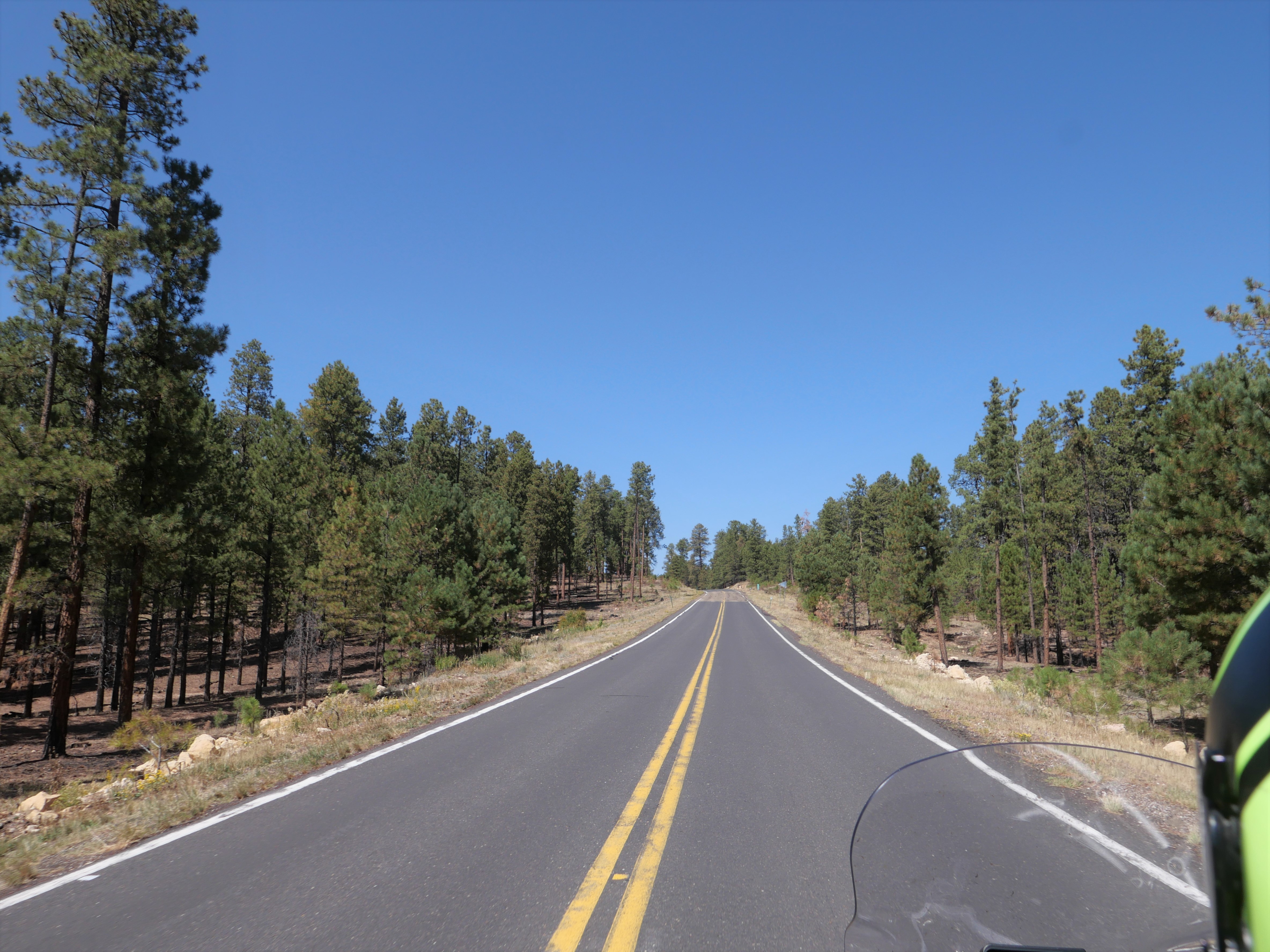


We wound our way down an average 6% grade off the top of the Kaibab Plateau to the high desert floor below us, and when we reached Fredonia we turned west on State 389, riding through part of the Kaibab Paiute Reservation only 50 miles north of the Grand Canyon.


The temperature rose into the mid 90's and we were glad we only had a few miles left until we reached La Verkin, Utah where we're staying for 3 nights. We're looking forward to some gorgeous motorcycle riding!


Wednesday, August 12, 2020

3400 miles, 17 days, 4 states on the BMW

It's bittersweet whenever a motorcycle ride comes to an end, and especially so after a fantastic 17-day, 3400 miles in four in our favorite states:  Arizona, Utah, Wyoming and Colorado. We planned a short, 96 mile ride today to beat the heat (and have time to do laundry) from Flagstaff to Prescott, Arizona.

Flagstaff sits at about 7,000' elevation and the temperature was in the mid 50's when we hopped on the BMW at about 7am. We headed south on I-70, riding through the tall pine forests that surround Flagstaff. As we continued south, the elevation dropped and the landscape changed to shorter pine trees in less dense forest as the temperature climbed into the low 70's.

I-70 skirts Sedona, but we could see some of the famous red rock formations off in the distance.

By the time we reached the Verde Valley about 55 miles south of Flagstaff, we had dropped to around 3,000' elevation and the temperature was in the high 80's. We no longer saw stands of tall pine forests, but rather scrubby chaparral and even cactus, reminding us that much of Arizona is high, dry, hot desert.

Thankfully the Verde Valley is the lowest, hottest point on our trip, and when we started climbing the temperature cooled into the mid 70's again. When we turned onto US 169 we were only 30 miles from Prescott and the dry grassland told us that the monsoons which provide much needed rain in the summer had not been active the previous 2 weeks while we were away.

As we rode along the familiar highway this morning, I thought about everything we had seen during our trip: mountain passes in the Rockies above 10,000', cold mountain reservoirs, rivers and streams that actually contain water (unlike most of the rivers and streams in Arizona that only have water after a rain or sometimes during snow melt), miles of riding without seeing another vehicle, a couple of fabulous dinners and times when we couldn't find a restaurant and resorted to an energy bar for our meal, a soak in the mineral hot springs in Saratoga Wyoming, a weekend with our sons in Silverthorne Colorado, hairpin turns, twisting mountain roads, long straight highways that stretch almost to the horizon. We're ready to head out again!


Tuesday, August 11, 2020

Riding the BMW from Colorado into Arizona

 Today's ride took us from the lush green mountains around Pagosa Springs, Colorado into the wide-open desert in northern Arizona over 370 gorgeous miles.

It was fun to see a hot air balloon as we started our ride today heading west on US 160. We rode past Chimney Rock National Monument at the southern edge of the San Juan Mountains, where over 200 homes and ceremonial buildings of the Ancestral Puebloans are preserved.

160 West took us through Durango and Cortez through the Southern Ute Reservation and the Ute Mountain Reservation, reminders that people made this area their home for thousands of years before Europeans arrived. We reached 3,000 miles for our trip - so far - in Cortez.

After riding through the San Juan mountains outside Durango, we rode past Mesa Verde National Park, established in 1906 to preserve more sites of the Ancestral Puebloans, including 600 cliff dwellings. The park towers at 6,000'-8,500' above the surrounding valley.

Whenever we head home from a motorcycle trip north of us, we have to ride through the Navajo Reservation which covers 27,000 acres in Arizona, Utah and New Mexico. That's slightly larger than the entire state of Tennessee! Small towns are few and far between in the Navajo Nation, and with COVID restrictions there are many closures. We make sure to fill up the BMW with fuel before we get onto the Nation and not stop at all, if possible. Today we stopped in Cortez which sits at 6,200' elevation in the Montezuma Valley in southwestern Colorado. As we headed south on US 160, we left the green mountains behind us as we entered the desert. For the next part of our trip, the only green we would see are areas that are irrigated.

Unlike riding the twisting, curving roads through the Rocky Mountains the past few days, today's ride was on straight roads which allowed us to zoom along the highway at faster speeds. We crossed the San Juan River which marks the boundary between the Ute Mountain Reservation and the Navajo Reservation and then past Four Corners where the states of Utah, Arizona, Colorado and New Mexico meet.

The landscape changed again as we rode into Kayenta, a town of about 5,000 people in the Navajo Reservation. The red rock cliffs and buttes seem to change color and even shape with the changing light from sun to cloudy skies, making this a mesmerizing ride. 


US Route 160 ends at US 89, where we turned south toward Flagstaff, Arizona, our stop for the night. The temperature rose to 99.5 degrees and thankfully a partly cloudy sky kept it a bit cooler as we rode toward the San Francisco Peaks.

Flagstaff sits at about 7,000' elevation so the temperature dropped into the low 80's. Tomorrow is a short 2 hour ride home, and the end of our 17 day motorcycle trip.

Monday, August 10, 2020

Our last full day on the BMW in Colorado

 After a weekend with our sons in Silverthorne, Colorado, we started our trip toward home in Arizona today, our 13th day on the BMW. After a short ride on I-70 West, we turned south on Colorado Route 91, riding through the snow-peaked Rocky Mountains.

We climbed through Fremont Pass at 11,318' where we crossed the Continental Divide once again. The highway up to the top of the pass was very easy riding with gentle, sweeping turns. The descending route was more fun with tighter corners, but no hairpin turns.

Leadville started off as a gold and silver mining town, and mining continues here today with Climax Molybdenum Company, a subsidiary of Freeport-McMoRan continuing operations in this area. The National Mining Hall of Fame and Museum is in downtown Leadville, and while we didn't have time to stop today, we would love to come back to Leadville at 10,151' elevation and spend some time.

We turned south on US 24 in Leadville, riding alongside the Arkansas River that starts in Leadville where we glimpsed rafters and kayakers enjoying the August day as we followed the sweeping turns of the highway.

This part of US 24 is the Collegiate Peaks Scenic Byway, and we rode north through here a few days ago.

The Collegiate Peaks are several mountains, some higher than 14,000', named for famous East Coast universities such as Yale, Princeton and Harvard. We made a quick lunch stop in Buena Vista, which we learned is pronounced "Booyna-Vista" to rhyme with 'beautiful'. We continued south on US 285 through the Upper Arkansas Valley with shadowy mountains to the east and west as we rode on the straight highway through irrigated agricultural fields. 

The landscape changed as we passed Poncha Springs, climbing up and over Poncha Pass at 9,025' elevation, one of the lowest elevation passes in the Rocky Mountains. 

We were now riding through the where the Rio Grande River is born. The valley lies at above 7,000' elevation and is 74 miles wide, giving us long-distance views across the irrigated fields to the mountains as we zoomed along the straight 2-lane highway.

We had one more pass to cross before we ended the day's ride, and after we turned west onto US 160 we once again we crossed the Continental Divide over Wolf Creek Pass at 10,857' elevation.

The approach to Wolf Creek Pass is sweeping, gentle turns and then the descent heading west featured tighter turns and steeper downhills. We came down into the Upper San Juan Basin as we rode into Pagosa Springs where we are spending the night.

Today's ride featured high, snowy mountains with twisting roads; and straight highways through irrigated agricultural land. It's our last full day in Colorado as tomorrow we'll cross into New Mexico and Arizona as we head home.


Friday, August 7, 2020

High mountain passes and wide open high elevation valleys - fun in Colorado on the BMW

 We left Colorado Springs a bit later than usual this morning for a shorter day's ride to Silverthorne, Colorado, retracing yesterday's route at the beginning on US 24 west through Manitou Spring to Woodland Park where we picked up Colorado 67 north to Deckers. We went from heavy, 4-lane traffic on US 24 to a quiet, sweeping ride on 67 which is much more to our liking. We turned north onto County Route 126 and followed two motorcycles for a few miles, enjoying the twists and turns through the high elevation forest.

The quiet ride ended when we turned south onto busy US 285, following traffic through the mountains. This highway follows the path of a former railroad line from Denver, and at times we saw the South Platte River at the base of the mountains.

US 285 winds up 10,000' elevation Kenosha Pass where the Colorado Trail, a 567 mile hiking trail between Denver and Durango, crosses the highway.

The descent down the western side of the Pass is much more steep, with some hairpin turns to keep it fun. At the bottom of the pass we entered South Park, a wide valley at around 9,000' elevation that is surrounded by steep, tall, snowy mountain peaks.

This is ranching country, and while it was a warm 74 degrees today in early August, we imagined what it would be like in this area in the middle of winter where 145" of snow is the average for the year.

We turned north on Colorado 9 in Fairplay, founded in 1858 during the height of the Pike's Peak gold rush. Fairplay sits at 9,953' elevation and at around 800 people, it's the largest town in South Park. We stopped at the Brown Burro Cafe for lunch before continuing north out of the South Park valley on Route 9 as we climbed up 11,542' Hoosier Pass and crossing the Continental Divide.

The 8% grade made the descent down Hoosier Pass a lot of fun with twisties and hairpin turns.

Route 9 continues into Breckenridge, a popular ski resort and on this Friday afternoon it was also packed with summer tourists.

We turned east on I-70 for about 3 miles to the Silverthorne exit, our stop for the weekend as we spend some times with our sons who live in the Denver area. We'll be back on the BMW on Monday, starting the last 3 days of trip as we head toward home.